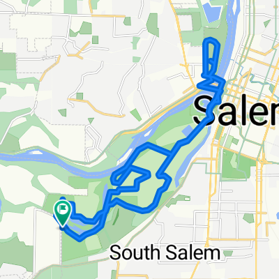
SBC - Drift Creek Loop II (Map 0409)
A cycling route starting in Salem, Oregon, United States of America.
Overview
About this route
- -:--
- Duration
- 68.8 km
- Distance
- 459 m
- Ascent
- 459 m
- Descent
- ---
- Avg. speed
- ---
- Max. altitude
Route quality
Waytypes & surfaces along the route
Waytypes
Quiet road
27.6 km
(40 %)
Busy road
20.8 km
(30 %)
Surfaces
Paved
15.7 km
(23 %)
Asphalt
12.6 km
(18 %)
Paved (undefined)
3.1 km
(4 %)
Continue with Bikemap
Use, edit, or download this cycling route
You would like to ride SBC - Drift Creek Loop II (Map 0409) or customize it for your own trip? Here is what you can do with this Bikemap route:
Free features
- Save this route as favorite or in collections
- Copy & plan your own version of this route
- Sync your route with Garmin or Wahoo
Premium features
Free trial for 3 days, or one-time payment. More about Bikemap Premium.
- Navigate this route on iOS & Android
- Export a GPX / KML file of this route
- Create your custom printout (try it for free)
- Download this route for offline navigation
Discover more Premium features.
Get Bikemap PremiumFrom our community
Other popular routes starting in Salem
- Reach the Beach via Wine Country May 2020
- Distance
- 166.6 km
- Ascent
- 890 m
- Descent
- 940 m
- Location
- Salem, Oregon, United States of America
- Salem - Monmouth Route
- Distance
- 47.3 km
- Ascent
- 198 m
- Descent
- 192 m
- Location
- Salem, Oregon, United States of America
- 2928 Gehlar Rd NW, Salem to 390 High St NE, Salem
- Distance
- 5.6 km
- Ascent
- 18 m
- Descent
- 116 m
- Location
- Salem, Oregon, United States of America
- Minto Browns
- Distance
- 7.6 km
- Ascent
- 19 m
- Descent
- 18 m
- Location
- Salem, Oregon, United States of America
- Moderate route in Salem
- Distance
- 2 km
- Ascent
- 0 m
- Descent
- 0 m
- Location
- Salem, Oregon, United States of America
- Commercial Street Northeast 1865, Salem to Lee Street Southeast 1110, Salem
- Distance
- 6.7 km
- Ascent
- 36 m
- Descent
- 29 m
- Location
- Salem, Oregon, United States of America
- NWTR 2012 Sat Short Ride
- Distance
- 30.3 km
- Ascent
- 43 m
- Descent
- 45 m
- Location
- Salem, Oregon, United States of America
- SBC - Drift Creek Loop II (Map 0409)
- Distance
- 68.8 km
- Ascent
- 459 m
- Descent
- 459 m
- Location
- Salem, Oregon, United States of America
Open it in the app