GRM2015_160 Jean
- 157.5 km
- 1,635 m
- 1,637 m
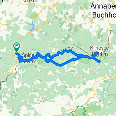
- Muldenhammer, Saxony, Germany
A cycling route starting in Muldenhammer, Saxony, Germany.
Overview
Grundlage der Marschtabelle
created this 13 years ago
Route quality
Road
65.8 km
(32 %)
Quiet road
18.5 km
(9 %)
Paved
131.6 km
(64 %)
Unpaved
2.1 km
(1 %)
Asphalt
127.5 km
(62 %)
Paved (undefined)
4.1 km
(2 %)
Continue with Bikemap
You would like to ride GRM200_2012_b or customize it for your own trip? Here is what you can do with this Bikemap route:
Free trial for 3 days, or one-time payment. More about Bikemap Premium.
Discover more Premium features.
Get Bikemap PremiumFrom our community
Open it in the app