20 Annecy - Semnoz
- 124.8 km
- 3,061 m
- 1,879 m
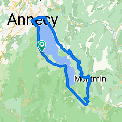
- Sevrier, Auvergne-Rhône-Alpes, France
A cycling route starting in Sevrier, Auvergne-Rhône-Alpes, France.
Overview
created this 13 years ago
Continue with Bikemap
You would like to ride Bauges 4 or customize it for your own trip? Here is what you can do with this Bikemap route:
Free trial for 3 days, or one-time payment. More about Bikemap Premium.
Discover more Premium features.
Get Bikemap PremiumFrom our community
Open it in the app