

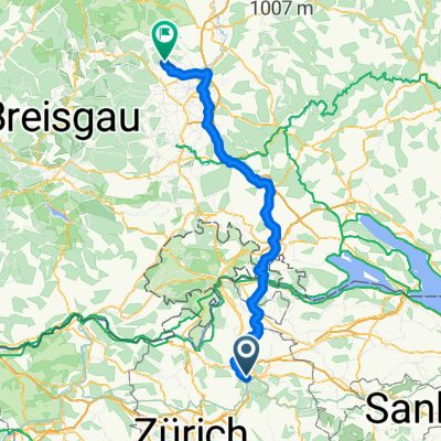
Frauenfeld-Stein-Winti
A cycling route starting in Töss (Kreis 4) / Schlosstal, Canton of Zurich, Switzerland.
Overview
About this route
In Thurgau and along Stein am Rhein to Diessenhofen and back to Winterthur
- -:--
- Duration
- 112.9 km
- Distance
- 934 m
- Ascent
- 935 m
- Descent
- ---
- Avg. speed
- 579 m
- Max. altitude

Route photos

Route quality
Waytypes & surfaces along the route
Waytypes
Road
20.3 km
(18 %)
Cycleway
19.2 km
(17 %)
Surfaces
Paved
105 km
(93 %)
Unpaved
2.3 km
(2 %)
Asphalt
105 km
(93 %)
Gravel
2.3 km
(2 %)
Undefined
5.6 km
(5 %)
Continue with Bikemap
Use, edit, or download this cycling route
You would like to ride Frauenfeld-Stein-Winti or customize it for your own trip? Here is what you can do with this Bikemap route:
Free features
- Save this route as favorite or in collections
- Copy & plan your own version of this route
- Split it into stages to create a multi-day tour
- Sync your route with Garmin or Wahoo
Premium features
Free trial for 3 days, or one-time payment. More about Bikemap Premium.
- Navigate this route on iOS & Android
- Export a GPX / KML file of this route
- Create your custom printout (try it for free)
- Download this route for offline navigation
Discover more Premium features.
Get Bikemap PremiumFrom our community
Other popular routes starting in Töss (Kreis 4) / Schlosstal
 Einfache Fahrt in Winterthur
- Distance
- 4.3 km
- Ascent
- 71 m
- Descent
- 37 m
- Location
- Töss (Kreis 4) / Schlosstal, Canton of Zurich, Switzerland
 Frauenfeld-Stein-Winti
- Distance
- 112.9 km
- Ascent
- 934 m
- Descent
- 935 m
- Location
- Töss (Kreis 4) / Schlosstal, Canton of Zurich, Switzerland
 Winterthur - Obereschach (nahe an Autobahn & Co.)
- Distance
- 106.5 km
- Ascent
- 948 m
- Descent
- 655 m
- Location
- Töss (Kreis 4) / Schlosstal, Canton of Zurich, Switzerland
 Schnelle Radrunde durch Winterthur
- Distance
- 0 km
- Ascent
- 0 m
- Descent
- 0 m
- Location
- Töss (Kreis 4) / Schlosstal, Canton of Zurich, Switzerland
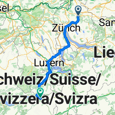 winti meiringen
- Distance
- 136.8 km
- Ascent
- 981 m
- Descent
- 812 m
- Location
- Töss (Kreis 4) / Schlosstal, Canton of Zurich, Switzerland
 Büro - Haus via reitplatzt
- Distance
- 11 km
- Ascent
- 176 m
- Descent
- 105 m
- Location
- Töss (Kreis 4) / Schlosstal, Canton of Zurich, Switzerland
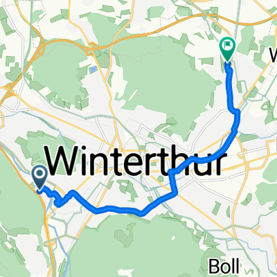
 winti - husemer see
- Distance
- 20 km
- Ascent
- 135 m
- Descent
- 155 m
- Location
- Töss (Kreis 4) / Schlosstal, Canton of Zurich, Switzerland
 Nägelseestrasse 71, Winterthur nach Farmerstrasse 18, Winterthur
- Distance
- 17.9 km
- Ascent
- 118 m
- Descent
- 74 m
- Location
- Töss (Kreis 4) / Schlosstal, Canton of Zurich, Switzerland
Open it in the app