kurze Feierabendrunde - Rodamsdörfle
- 22 km
- 374 m
- 374 m
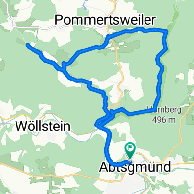
- Abtsgmuend, Baden-Wurttemberg, Germany
A cycling route starting in Abtsgmuend, Baden-Wurttemberg, Germany.
Overview
The route is mostly flat and runs on paved cycling paths. In between, there are two gentle climbs and a steep, long ascent in the middle. The gravel content is about 40%. However, the route can be easily combined with several trails.
Very well suited for getting back into the rhythm in spring.
created this 14 years ago
Route quality
Track
26 km
45 %
Quiet road
15 km
26 %
Paved
42.7 km
(74 %)
Unpaved
12.1 km
(21 %)
Asphalt
40.9 km
71 %
Gravel
8.7 km
15 %
Continue with Bikemap
You would like to ride Einrollen-Fühjahr or customize it for your own trip? Here is what you can do with this Bikemap route:
Free trial for 3 days, or one-time payment. More about Bikemap Premium.
Discover more Premium features.
Get Bikemap PremiumFrom our community
Open it in the app