

France, Alpes Nord 2 : Albertville - Col du Granon
A cycling route starting in Saint-Chaffrey, Provence-Alpes-Côte d'Azur Region, France.
Overview
About this route
- -:--
- Duration
- 256.5 km
- Distance
- 4,489 m
- Ascent
- 6,491 m
- Descent
- ---
- Avg. speed
- ---
- Max. altitude

Route highlights
Points of interest along the route
Point of interest after 1.1 km
Col du Granon 2 404m
Point of interest after 37.6 km
Les Deux Alpes 1 652m
Point of interest after 42.7 km
Col du Galibier 2 646m
Point of interest after 150.2 km
Col de l'Iseran 2 764 m
Point of interest after 216.1 km
Cormet de Roselend 1 967m
Point of interest after 229.3 km
Continue with Bikemap
Use, edit, or download this cycling route
You would like to ride France, Alpes Nord 2 : Albertville - Col du Granon or customize it for your own trip? Here is what you can do with this Bikemap route:
Free features
- Save this route as favorite or in collections
- Copy & plan your own version of this route
- Split it into stages to create a multi-day tour
- Sync your route with Garmin or Wahoo
Premium features
Free trial for 3 days, or one-time payment. More about Bikemap Premium.
- Navigate this route on iOS & Android
- Export a GPX / KML file of this route
- Create your custom printout (try it for free)
- Download this route for offline navigation
Discover more Premium features.
Get Bikemap PremiumFrom our community
Other popular routes starting in Saint-Chaffrey
 CIRCUIT D ITALIE
- Distance
- 82.5 km
- Ascent
- 1,326 m
- Descent
- 1,325 m
- Location
- Saint-Chaffrey, Provence-Alpes-Côte d'Azur Region, France
 France, Alpes Nord 2 : Albertville - Col du Granon
- Distance
- 256.5 km
- Ascent
- 4,489 m
- Descent
- 6,491 m
- Location
- Saint-Chaffrey, Provence-Alpes-Côte d'Azur Region, France
 Lautaret, Croix de Fer, Telegraph, Galibier
- Distance
- 205.8 km
- Ascent
- 4,074 m
- Descent
- 4,071 m
- Location
- Saint-Chaffrey, Provence-Alpes-Côte d'Azur Region, France
 D6-SeyenAdventures-Graviflette2020-v7
- Distance
- 74.6 km
- Ascent
- 3,518 m
- Descent
- 3,829 m
- Location
- Saint-Chaffrey, Provence-Alpes-Côte d'Azur Region, France
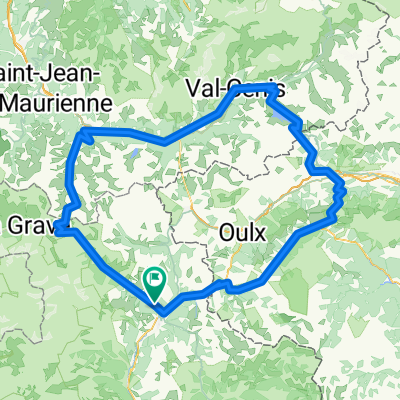
 Cesana- Olux -Cesana
- Distance
- 64.2 km
- Ascent
- 1,949 m
- Descent
- 1,949 m
- Location
- Saint-Chaffrey, Provence-Alpes-Côte d'Azur Region, France
 JK Tour de France
- Distance
- 1,070 km
- Ascent
- 2,569 m
- Descent
- 3,917 m
- Location
- Saint-Chaffrey, Provence-Alpes-Côte d'Azur Region, France
 Les 5 majeurs
- Distance
- 228.4 km
- Ascent
- 5,625 m
- Descent
- 5,623 m
- Location
- Saint-Chaffrey, Provence-Alpes-Côte d'Azur Region, France
 Nevache - Pragelato
- Distance
- 51.1 km
- Ascent
- 1,155 m
- Descent
- 1,462 m
- Location
- Saint-Chaffrey, Provence-Alpes-Côte d'Azur Region, France
Open it in the app