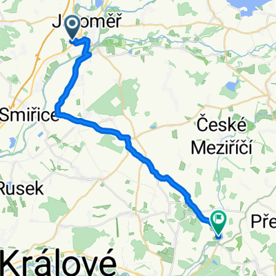
Okruh z Kuksu do Hradce Králové a zpět
- 62.5 km
- 100 m
- 95 m
- Jaroměř, Královéhradecký kraj, Czechia
A cycling route starting in Jaroměř, Královéhradecký kraj, Czechia.
Overview
moderately challenging hilly route (total altitude gained according to the odometer - approx. 650 m)
the route has several climbs corresponding to category 4 according to the TDF<br />
on several sections, the route follows very bad roads unsuitable for road bikes. For this reason, I modified one section compared to the correct route (detour to Choustníkovo Hradiště)
completed in April 2012 in relatively poor weather (rain, but gradually improving)
created this 13 years ago
Route quality
Road
28.9 km
(46 %)
Quiet road
8.8 km
(14 %)
Paved
13.2 km
(21 %)
Unpaved
2.5 km
(4 %)
Asphalt
11.9 km
(19 %)
Unpaved (undefined)
2.5 km
(4 %)
Route highlights
Kontrolní bod
Horská prémie 4.kategorie
Kontrolní bod
horská kategorie 4.kategorie
Buřty
Continue with Bikemap
You would like to ride Pochod okolo Jaroměře, cyklo60 or customize it for your own trip? Here is what you can do with this Bikemap route:
Free trial for 3 days, or one-time payment. More about Bikemap Premium.
Discover more Premium features.
Get Bikemap PremiumFrom our community
Open it in the app