Saar Hunsrück 2 Waldhölzbach Börfink
- 61.3 km
- 1,195 m
- 1,142 m
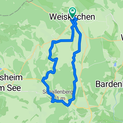
- Weiskirchen, Saarland, Germany
A cycling route starting in Weiskirchen, Saarland, Germany.
Overview
created this 1 year ago
Route quality
Road
8.2 km
(43 %)
Quiet road
5.7 km
(30 %)
Paved
14.7 km
(77 %)
Unpaved
2.5 km
(13 %)
Asphalt
13.7 km
(72 %)
Gravel
2.3 km
(12 %)
Continue with Bikemap
You would like to ride Birkenstraße 1, Weiskirchen nach Auf der Kupp 24, Lebach or customize it for your own trip? Here is what you can do with this Bikemap route:
Free trial for 3 days, or one-time payment. More about Bikemap Premium.
Discover more Premium features.
Get Bikemap PremiumFrom our community
Open it in the app