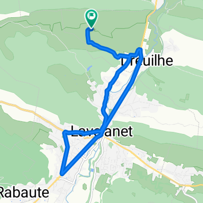
Balade 25/06/11
- 10 km
- 187 m
- 187 m
- Lavelanet, Occitanie, France
A cycling route starting in Lavelanet, Occitanie, France.
Overview
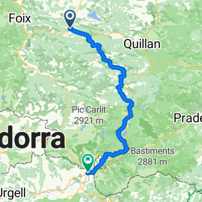
Route from Montségur, passing through Montpellier, Monaco, Genoa, Verona, Neuschwanstein, Venice, Florence, Rome, Pompeii and Brindisi
Continue with Bikemap
You would like to ride Montsegur a Brindisi or customize it for your own trip? Here is what you can do with this Bikemap route:
Free trial for 3 days, or one-time payment. More about Bikemap Premium.
Discover more Premium features.
Get Bikemap PremiumFrom our community
Open it in the app