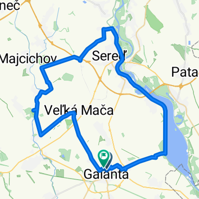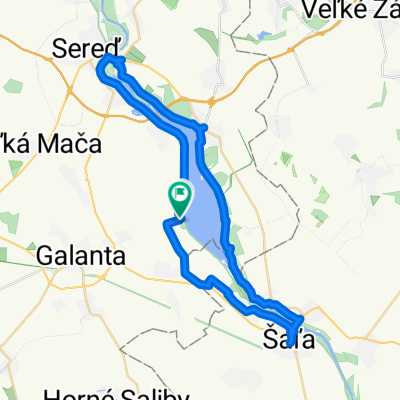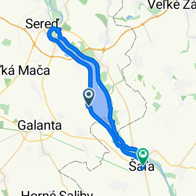
Vozokany-Č.Voda-Č.Brod-Sládkovičovo-GA Hody-Váhovce-Kaskády-Šaľa-Diakovce-Matúškovo-Mostová-Č.Voda-Vozokany
- 86.9 km
- 73 m
- 119 m
- Galanta, Trnava Region, Slovakia
A cycling route starting in Galanta, Trnava Region, Slovakia.
Overview
created this 1 year ago


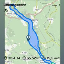
Route quality
Cycleway
18.1 km
(41 %)
Quiet road
2.6 km
(6 %)
Paved
28.6 km
(65 %)
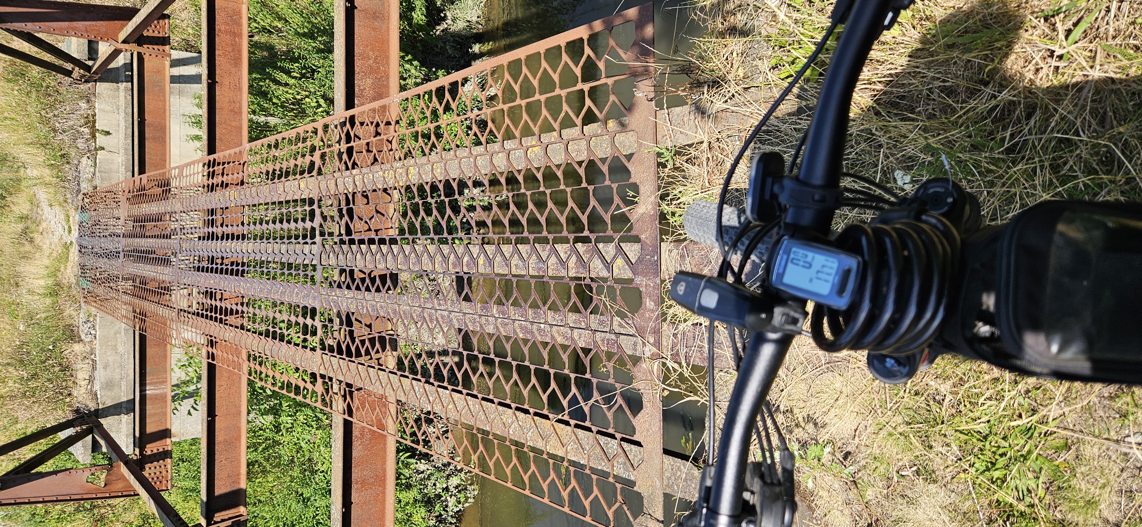
Unpaved
0.4 km
(1 %)
Asphalt
28.6 km
(65 %)
Gravel
0.4 km
(1 %)
Undefined
15 km
(34 %)
Continue with Bikemap
You would like to ride Šintava do Šintava or customize it for your own trip? Here is what you can do with this Bikemap route:
Free trial for 3 days, or one-time payment. More about Bikemap Premium.
Discover more Premium features.
Get Bikemap PremiumFrom our community
Open it in the app