
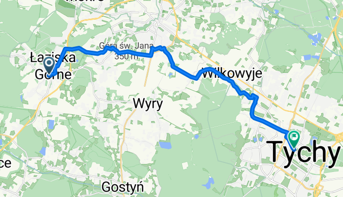
Spokojna 12, Łaziska Górne nach aleja Niepodległości 35, Tychy
A cycling route starting in Łaziska Górne, Silesian Voivodeship, Poland.
Overview
About this route
- 1 h 7 min
- Duration
- 16.2 km
- Distance
- 38 m
- Ascent
- 124 m
- Descent
- 14.5 km/h
- Avg. speed
- 349 m
- Max. altitude
Route quality
Waytypes & surfaces along the route
Waytypes
Quiet road
6.8 km
(42 %)
Cycleway
3.7 km
(23 %)
Surfaces
Paved
12.3 km
(76 %)
Unpaved
1.2 km
(7 %)
Asphalt
10.3 km
(63 %)
Paving stones
2 km
(12 %)
Continue with Bikemap
Use, edit, or download this cycling route
You would like to ride Spokojna 12, Łaziska Górne nach aleja Niepodległości 35, Tychy or customize it for your own trip? Here is what you can do with this Bikemap route:
Free features
- Save this route as favorite or in collections
- Copy & plan your own version of this route
- Sync your route with Garmin or Wahoo
Premium features
Free trial for 3 days, or one-time payment. More about Bikemap Premium.
- Navigate this route on iOS & Android
- Export a GPX / KML file of this route
- Create your custom printout (try it for free)
- Download this route for offline navigation
Discover more Premium features.
Get Bikemap PremiumFrom our community
Other popular routes starting in Łaziska Górne
 kardynała Stefana Wyszyńskiego 5, Łaziska Górne do Gostyńska 10, Łaziska Górne
- Distance
- 29.9 km
- Ascent
- 120 m
- Descent
- 194 m
- Location
- Łaziska Górne, Silesian Voivodeship, Poland
 Laziska - Naklo Slaskie
- Distance
- 43.6 km
- Ascent
- 296 m
- Descent
- 273 m
- Location
- Łaziska Górne, Silesian Voivodeship, Poland
 Łaziska Górne - Pszczyna
- Distance
- 28.6 km
- Ascent
- 86 m
- Descent
- 184 m
- Location
- Łaziska Górne, Silesian Voivodeship, Poland
 Wypad do Tychów i na hałdę Skalny
- Distance
- 50 km
- Ascent
- 272 m
- Descent
- 269 m
- Location
- Łaziska Górne, Silesian Voivodeship, Poland
 Laziska - Klobuck
- Distance
- 116.3 km
- Ascent
- 320 m
- Descent
- 366 m
- Location
- Łaziska Górne, Silesian Voivodeship, Poland
 KoRNO
KoRNO- Distance
- 41.1 km
- Ascent
- 200 m
- Descent
- 228 m
- Location
- Łaziska Górne, Silesian Voivodeship, Poland
 Laziska - Czerwiecice
- Distance
- 59.4 km
- Ascent
- 354 m
- Descent
- 389 m
- Location
- Łaziska Górne, Silesian Voivodeship, Poland
 Powstańców 22, Łaziska Górne do Tadeusza Kościuszki 113, Łaziska Górne
- Distance
- 57.8 km
- Ascent
- 405 m
- Descent
- 398 m
- Location
- Łaziska Górne, Silesian Voivodeship, Poland
Open it in the app