Köterberg und Hagen
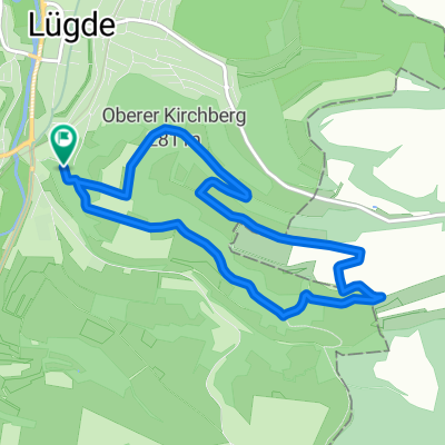
A cycling route starting in Lügde, North Rhine-Westphalia, Germany.
Overview
About this route
Die Fahrt beginnt in Lügde und führt zunächst über Elbrinxen nach Rischenau. Man sollte sich hier die Kräfte sparen. Ab Rischenau geht es zum Köterberg, dem steilsten Abschnitt. Der Weg führt auf der Straße, jedoch kaum Verkehr.
Zurück wieder über Rischenau nach Schwalenberg. Ab Schieder kann der Radweg entlang des Emmer-Stausees genommen werden. An Wochenenden beispielweise ist dieser aber wegen der Spaziergänger an manchen Stellen überfüllt und daher zu meiden.
Viel Spaß
Ede
- -:--
- Duration
- 61.2 km
- Distance
- 749 m
- Ascent
- 714 m
- Descent
- ---
- Avg. speed
- 490 m
- Avg. speed
Route quality
Waytypes & surfaces along the route
Waytypes
Busy road
26.7 km
(44 %)
Road
13.3 km
(22 %)
Surfaces
Paved
44.1 km
(72 %)
Unpaved
3.7 km
(6 %)
Asphalt
39.9 km
(65 %)
Paving stones
2.7 km
(4 %)
Continue with Bikemap
Use, edit, or download this cycling route
You would like to ride Köterberg und Hagen or customize it for your own trip? Here is what you can do with this Bikemap route:
Free features
- Save this route as favorite or in collections
- Copy & plan your own version of this route
- Sync your route with Garmin or Wahoo
Premium features
Free trial for 3 days, or one-time payment. More about Bikemap Premium.
- Navigate this route on iOS & Android
- Export a GPX / KML file of this route
- Create your custom printout (try it for free)
- Download this route for offline navigation
Discover more Premium features.
Get Bikemap PremiumFrom our community
Other popular routes starting in Lügde
- Köterberg und Hagen
- Distance
- 61.2 km
- Ascent
- 749 m
- Descent
- 714 m
- Location
- Lügde, North Rhine-Westphalia, Germany
- Lügde, Hagen, Sonneborn, Grießem, Bad Pyrmont
- Distance
- 32.1 km
- Ascent
- 342 m
- Descent
- 352 m
- Location
- Lügde, North Rhine-Westphalia, Germany
- Von Lügde bis Schieder-Schwalenberg
- Distance
- 14.7 km
- Ascent
- 418 m
- Descent
- 107 m
- Location
- Lügde, North Rhine-Westphalia, Germany
- Am Weinberg 13, Lügde nach Am Weinberg 11, Lügde
- Distance
- 42.5 km
- Ascent
- 521 m
- Descent
- 532 m
- Location
- Lügde, North Rhine-Westphalia, Germany
- Lügde Köterberg
- Distance
- 19.6 km
- Ascent
- 311 m
- Descent
- 51 m
- Location
- Lügde, North Rhine-Westphalia, Germany
- 15.06.2014
- Distance
- 91.1 km
- Ascent
- 380 m
- Descent
- 380 m
- Location
- Lügde, North Rhine-Westphalia, Germany
- rund um die Windraeder im Weserbergland
- Distance
- 69.4 km
- Ascent
- 873 m
- Descent
- 865 m
- Location
- Lügde, North Rhine-Westphalia, Germany
- 3.Mai 2013
- Distance
- 35.1 km
- Ascent
- 534 m
- Descent
- 535 m
- Location
- Lügde, North Rhine-Westphalia, Germany