

Weiten-Gesäß - Vielbrunn - Toter Mann
A cycling route starting in Höchst im Odenwald, Hesse, Germany.
Overview
About this route
- -:--
- Duration
- 45.9 km
- Distance
- 618 m
- Ascent
- 607 m
- Descent
- ---
- Avg. speed
- 471 m
- Avg. speed

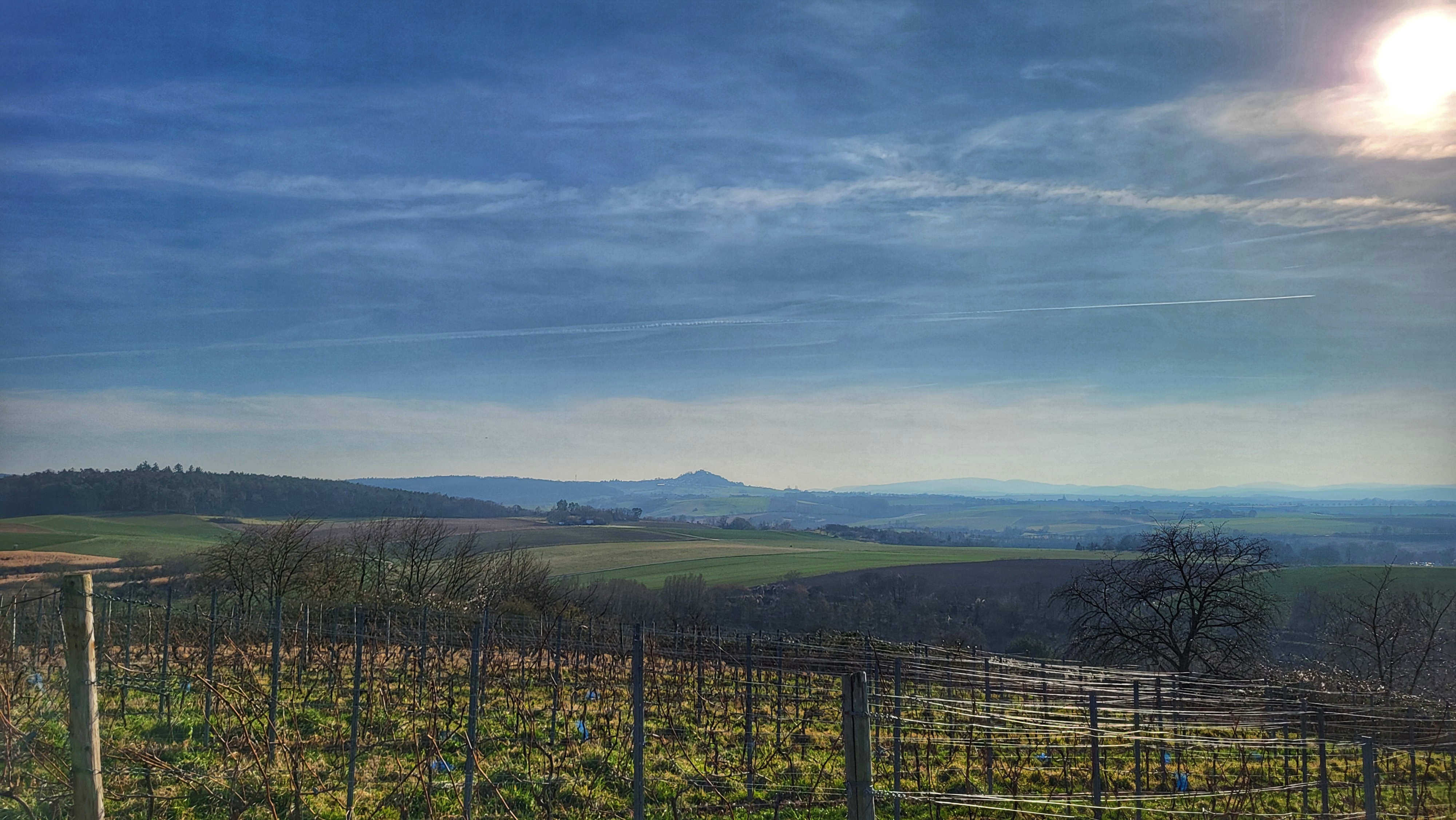
Route photos


Route quality
Waytypes & surfaces along the route
Waytypes
Track
20.9 km
(46 %)
Quiet road
14.7 km
(32 %)
Surfaces
Paved
13.7 km
(30 %)
Unpaved
19.5 km
(43 %)
Asphalt
12.6 km
(27 %)
Gravel
10.1 km
(22 %)
Continue with Bikemap
Use, edit, or download this cycling route
You would like to ride Weiten-Gesäß - Vielbrunn - Toter Mann or customize it for your own trip? Here is what you can do with this Bikemap route:
Free features
- Save this route as favorite or in collections
- Copy & plan your own version of this route
- Sync your route with Garmin or Wahoo
Premium features
Free trial for 3 days, or one-time payment. More about Bikemap Premium.
- Navigate this route on iOS & Android
- Export a GPX / KML file of this route
- Create your custom printout (try it for free)
- Download this route for offline navigation
Discover more Premium features.
Get Bikemap PremiumFrom our community
Other popular routes starting in Höchst im Odenwald
 zum Obernburger Waldhaus
- Distance
- 35.6 km
- Ascent
- 327 m
- Descent
- 324 m
- Location
- Höchst im Odenwald, Hesse, Germany
 durch den Mühlgrund
- Distance
- 42.9 km
- Ascent
- 411 m
- Descent
- 408 m
- Location
- Höchst im Odenwald, Hesse, Germany
 Matschetreten Rund um Höchst im #Odenwald
- Distance
- 32.7 km
- Ascent
- 716 m
- Descent
- 719 m
- Location
- Höchst im Odenwald, Hesse, Germany
 über den Otzberg nach Groß-Umstadt
- Distance
- 39.7 km
- Ascent
- 562 m
- Descent
- 562 m
- Location
- Höchst im Odenwald, Hesse, Germany
 3 Brunnen Runde
- Distance
- 31.2 km
- Ascent
- 441 m
- Descent
- 437 m
- Location
- Höchst im Odenwald, Hesse, Germany
 Eiserner Pfahl und Weihnachtsklappbrot der achtzehnte in 2024
- Distance
- 34.1 km
- Ascent
- 598 m
- Descent
- 602 m
- Location
- Höchst im Odenwald, Hesse, Germany
 Toter Mann - Kimbach - Bad König
- Distance
- 35.6 km
- Ascent
- 608 m
- Descent
- 607 m
- Location
- Höchst im Odenwald, Hesse, Germany
 Waldhaus Obernburg
- Distance
- 35.4 km
- Ascent
- 334 m
- Descent
- 332 m
- Location
- Höchst im Odenwald, Hesse, Germany
Open it in the app