
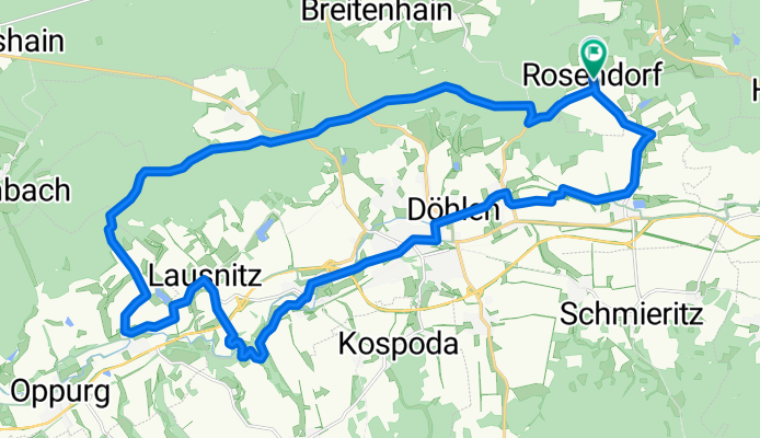
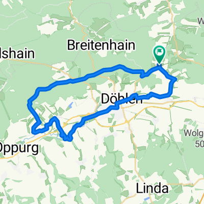
Rosendorf-Rittergut Positz-Mühlengrund-Rosendorf
A cycling route starting in Rosendorf, Free State of Thuringia, Germany.
Overview
About this route
Rosendorf ->Hohe Straße -> Waldhaus Vierzehn Eichen -> Rittergut Positz -> Kolba -> Lausnitz -> Harrasmühle-> Mühlengrund ->Neustadt /Orla -> Molbitz-> Dreitzsch -> Rosendorf
- -:--
- Duration
- 28.5 km
- Distance
- 283 m
- Ascent
- 281 m
- Descent
- ---
- Avg. speed
- ---
- Avg. speed
Route quality
Waytypes & surfaces along the route
Waytypes
Track
8.5 km
(30 %)
Quiet road
6.8 km
(24 %)
Surfaces
Paved
9.3 km
(33 %)
Unpaved
9.5 km
(33 %)
Gravel
8.8 km
(31 %)
Asphalt
8.6 km
(30 %)
Continue with Bikemap
Use, edit, or download this cycling route
You would like to ride Rosendorf-Rittergut Positz-Mühlengrund-Rosendorf or customize it for your own trip? Here is what you can do with this Bikemap route:
Free features
- Save this route as favorite or in collections
- Copy & plan your own version of this route
- Sync your route with Garmin or Wahoo
Premium features
Free trial for 3 days, or one-time payment. More about Bikemap Premium.
- Navigate this route on iOS & Android
- Export a GPX / KML file of this route
- Create your custom printout (try it for free)
- Download this route for offline navigation
Discover more Premium features.
Get Bikemap PremiumFrom our community
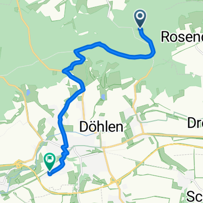
Other popular routes starting in Rosendorf
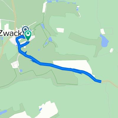 Zwackau 5, Rosendorf nach Zwackau 6, Rosendorf
- Distance
- 5 km
- Ascent
- 44 m
- Descent
- 36 m
- Location
- Rosendorf, Free State of Thuringia, Germany
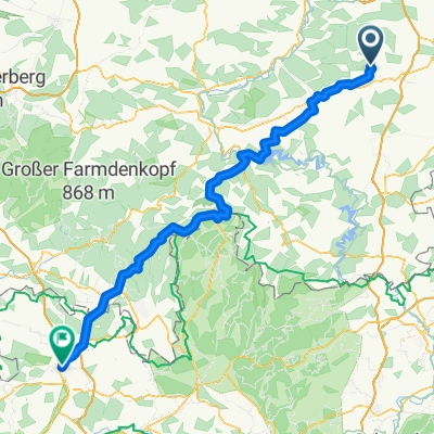 Alter Stadtweg, Neustadt an der Orla nach Steinweg 24, Coburg
- Distance
- 112.7 km
- Ascent
- 3,603 m
- Descent
- 3,721 m
- Location
- Rosendorf, Free State of Thuringia, Germany
 Entspannende Route in Neustadt an der Orla
- Distance
- 3.2 km
- Ascent
- 118 m
- Descent
- 123 m
- Location
- Rosendorf, Free State of Thuringia, Germany
 Rosendorf-Rittergut Positz-Mühlengrund-Rosendorf
- Distance
- 28.5 km
- Ascent
- 283 m
- Descent
- 281 m
- Location
- Rosendorf, Free State of Thuringia, Germany
 Alter Stadtweg, Neustadt an der Orla nach Meilitzer Straße 40, Neustadt an der Orla
- Distance
- 8.1 km
- Ascent
- 116 m
- Descent
- 247 m
- Location
- Rosendorf, Free State of Thuringia, Germany
 Zwackau 5, Rosendorf nach Zwackau 6, Rosendorf
- Distance
- 5 km
- Ascent
- 46 m
- Descent
- 38 m
- Location
- Rosendorf, Free State of Thuringia, Germany
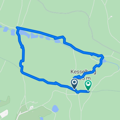
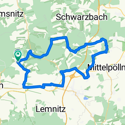 Rosendorf - Wittchenstein
- Distance
- 28.1 km
- Ascent
- 279 m
- Descent
- 276 m
- Location
- Rosendorf, Free State of Thuringia, Germany
Open it in the app