

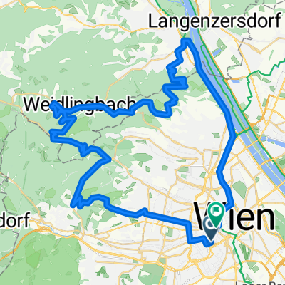
Bikemap Summer Ride 2024 🚴♂️ Wien - Klosterneuburg
A cycling route starting in Vienna, Vienna, Austria.
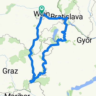
Overview
About this route
Once a year the whole Bikemap team gathers for a casual group ride.
- 2 h 2 min
- Duration
- 31.5 km
- Distance
- 250 m
- Ascent
- 250 m
- Descent
- 15.5 km/h
- Avg. speed
- 187 m
- Max. altitude

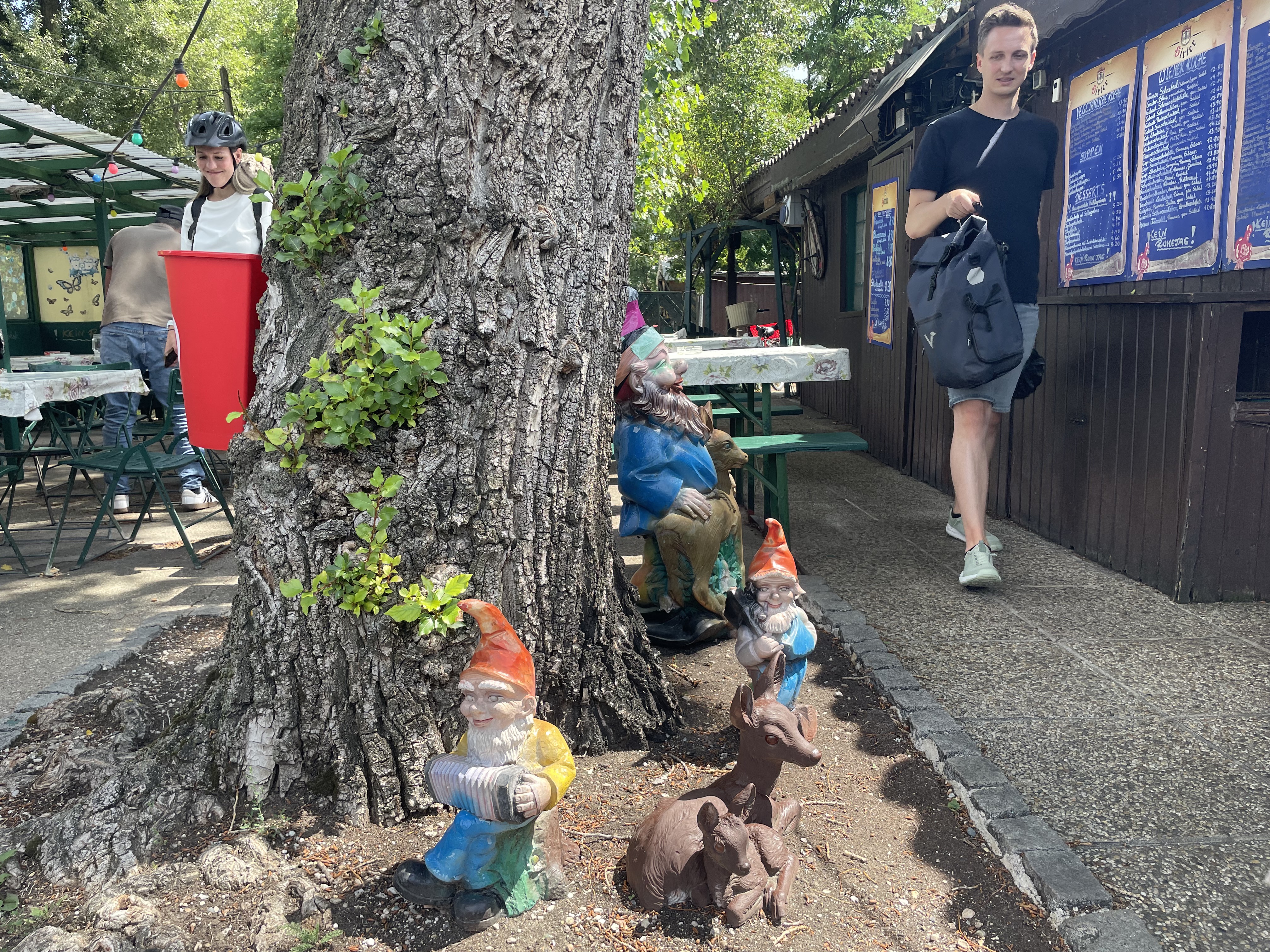
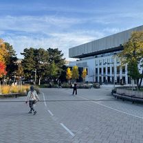
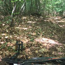
Route photos


Route quality
Waytypes & surfaces along the route
Waytypes
Cycleway
23.7 km
(75 %)
Quiet road
7.6 km
(24 %)
Access road
0.3 km
(1 %)
Surfaces
Paved
30.6 km
(97 %)
Asphalt
30.6 km
(97 %)
Undefined
0.9 km
(3 %)
Route highlights
Points of interest along the route

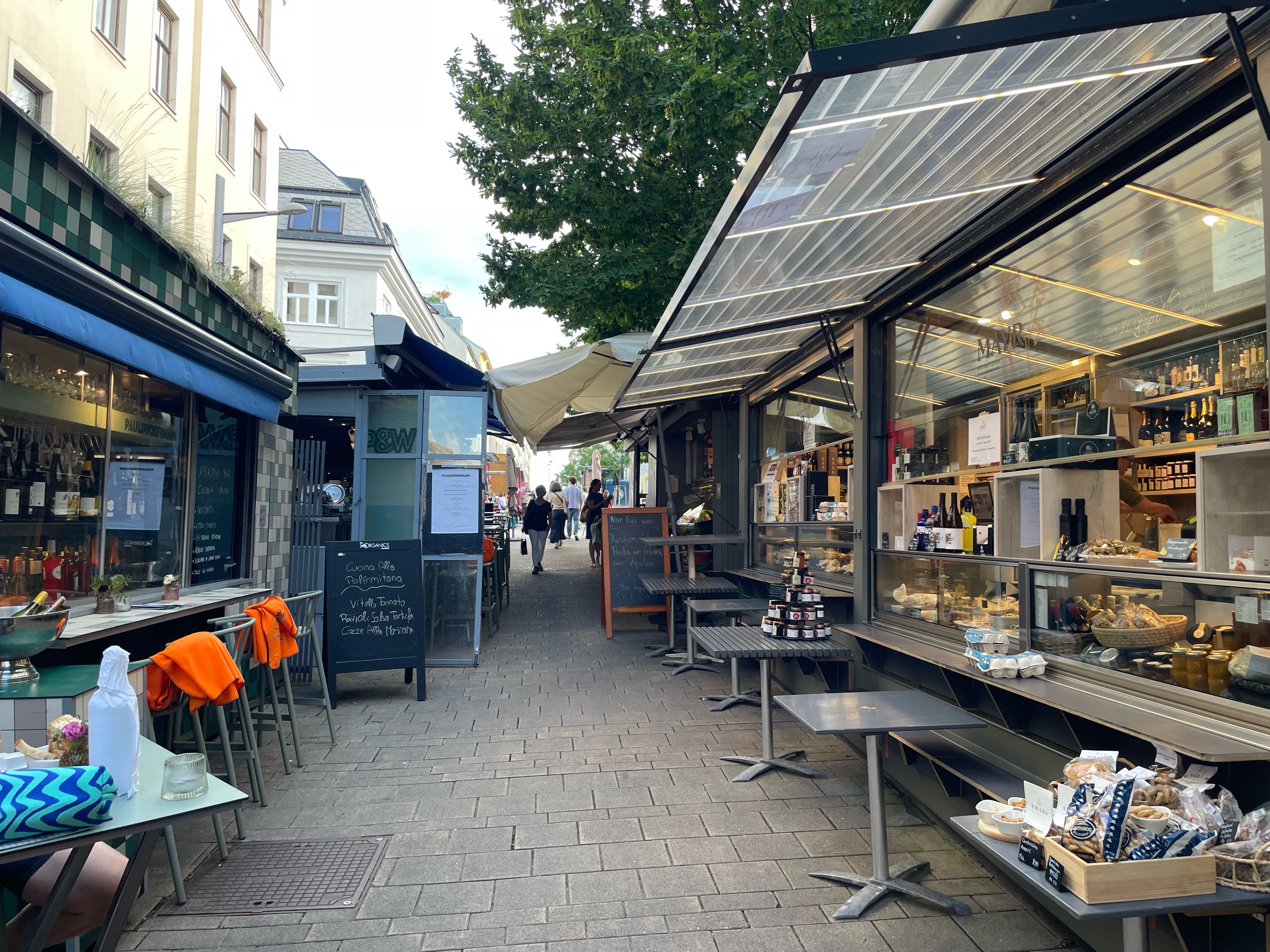
Point of interest after 1.5 km
Dinner at Zur Alten Kaisermühle

Point of interest after 9.1 km
1st Stop at Karin's Radlertreff

Point of interest after 13.1 km
Swim at Strandbad Klosterneuburg

Point of interest after 13.1 km
Lunch at Barracuda

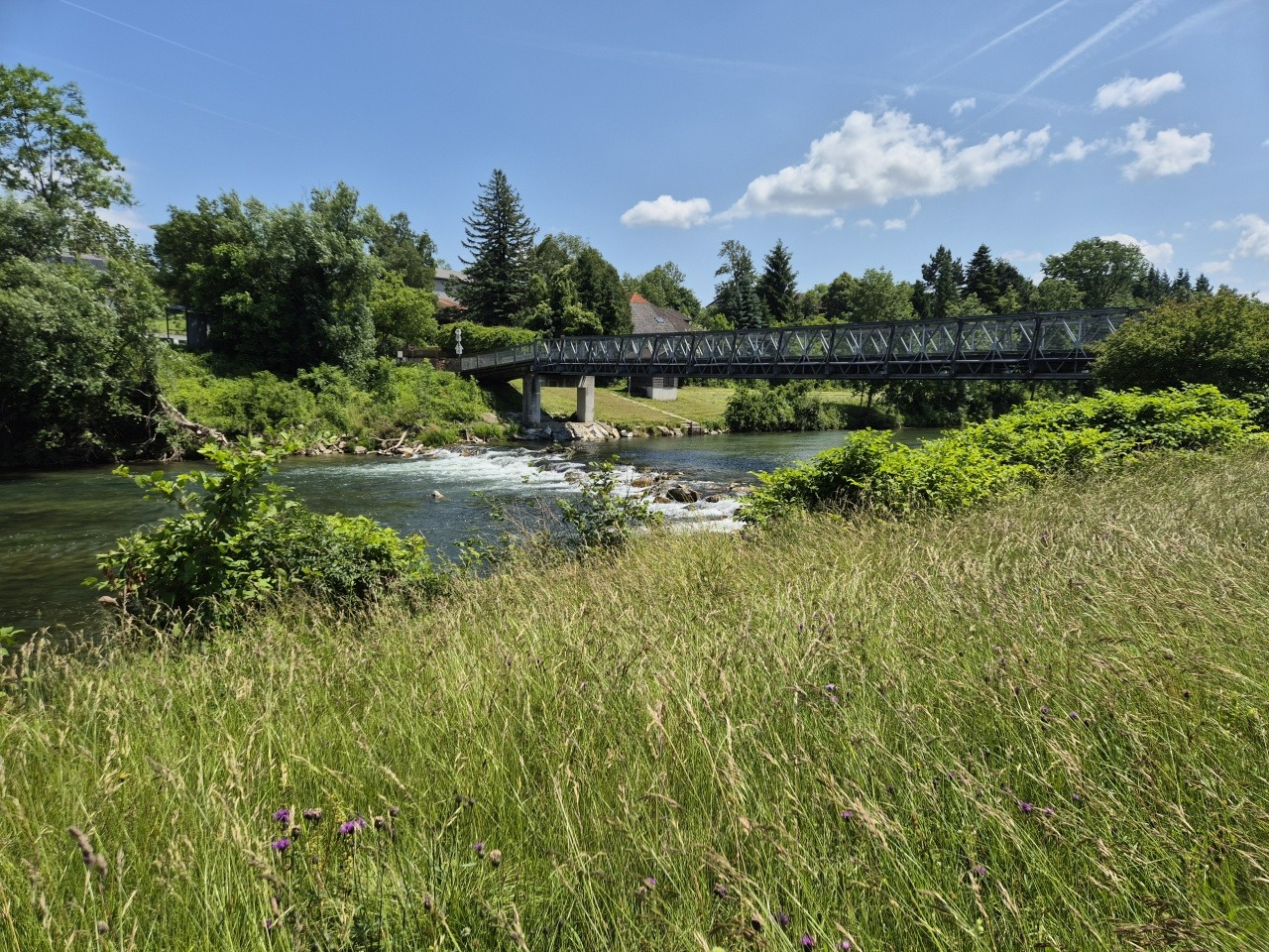
Point of interest after 16.6 km
Ferry to cross the Danube

Photo after 17 km
Streetart by Golif

Photo after 17.3 km

Photo after 18.5 km
Fixing the chain ⛓️

Photo after 20.5 km

Photo after 26.8 km
Shelter from the thunderstorm

Point of interest after 31.5 km
Getting bikes at Velopold
Continue with Bikemap
Use, edit, or download this cycling route
You would like to ride Bikemap Summer Ride 2024 🚴♂️ Wien - Klosterneuburg or customize it for your own trip? Here is what you can do with this Bikemap route:
Free features
- Save this route as favorite or in collections
- Copy & plan your own version of this route
- Sync your route with Garmin or Wahoo
Premium features
Free trial for 3 days, or one-time payment. More about Bikemap Premium.
- Navigate this route on iOS & Android
- Export a GPX / KML file of this route
- Create your custom printout (try it for free)
- Download this route for offline navigation
Discover more Premium features.
Get Bikemap PremiumFrom our community
Other popular routes starting in Vienna
 Vienna Cycling
- Distance
- 16.6 km
- Ascent
- 199 m
- Descent
- 222 m
- Location
- Vienna, Vienna, Austria
 Bikemap Summer Tour 2025 🚴♂️ Wien - Klosterneuburg AGAIN
- Distance
- 31.4 km
- Ascent
- 126 m
- Descent
- 129 m
- Location
- Vienna, Vienna, Austria
 Vom Hauptbahnhof über die Argentinierstraße in die Innenstadt
- Distance
- 7.4 km
- Ascent
- 71 m
- Descent
- 87 m
- Location
- Vienna, Vienna, Austria
 Kahlenberg drum herum
- Distance
- 25.5 km
- Ascent
- 718 m
- Descent
- 714 m
- Location
- Vienna, Vienna, Austria
 Wien-Burgenland-Bratislava-Wien
- Distance
- 565 km
- Ascent
- 4,811 m
- Descent
- 4,859 m
- Location
- Vienna, Vienna, Austria
 dc-klein mariazell-st pölten-neulengbach-dc
- Distance
- 228 km
- Ascent
- 1,654 m
- Descent
- 1,657 m
- Location
- Vienna, Vienna, Austria
 Vienna Hills Loop
- Distance
- 56.4 km
- Ascent
- 1,359 m
- Descent
- 1,358 m
- Location
- Vienna, Vienna, Austria
 Vom Bikemap Office zum Kutschkermarkt
- Distance
- 5 km
- Ascent
- 64 m
- Descent
- 38 m
- Location
- Vienna, Vienna, Austria
Open it in the app