Geile Route übern Mauerweg, ehem. FlughafenTempelhof
- 41.6 km
- 68 m
- 60 m
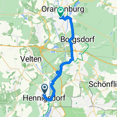
- Hennigsdorf, Brandenburg, Germany
A cycling route starting in Hennigsdorf, Brandenburg, Germany.
Overview
From Hennigsdorf to Steglitz, via the Wall Trail and the former Tempelhof Airport, you can ride directly from Hennigsdorf on the bike path to Berlin Central Station... and it's also very pleasant, almost the entire route was paved.
created this 13 years ago
Continue with Bikemap
You would like to ride Geile Route übern Mauerweg, ehem. FlughafenTempelhof or customize it for your own trip? Here is what you can do with this Bikemap route:
Free trial for 3 days, or one-time payment. More about Bikemap Premium.
Discover more Premium features.
Get Bikemap PremiumFrom our community
Open it in the app