

Majówkowy Rajd Rowerowy z Charlottą — 29.04.2012 r.
A cycling route starting in Słupsk, Pomeranian Voivodeship, Poland.
Overview
About this route
Bicycle Tourism Association "Szprycha" in Słupsk
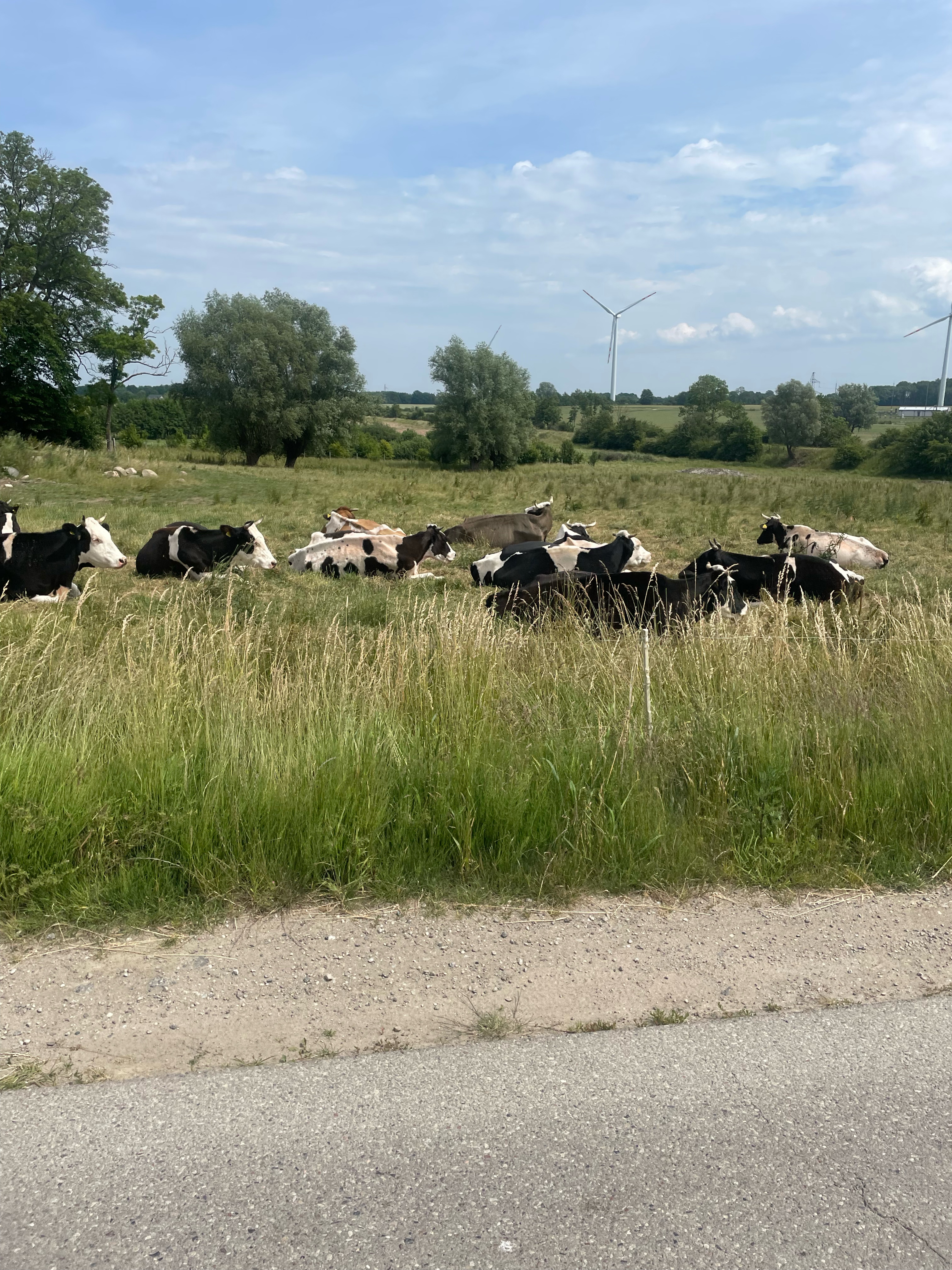
Just behind the city of Słupsk and only 10 km from the seaside resort of Ustka, amidst a beech forest, away from the hustle and bustle of the big city, lies an oasis of tranquility – the Charlotta Valley, which enchants with a fairy-tale setting, elegant interiors, and proximity to nature. This place became the destination for our next ride. We wanted to start the long weekend in a pleasant, family atmosphere. I think we succeeded. But one thing at a time... continued at www.rpswiat.pl
- -:--
- Duration
- 10.5 km
- Distance
- 65 m
- Ascent
- 65 m
- Descent
- ---
- Avg. speed
- ---
- Max. altitude

Route quality
Waytypes & surfaces along the route
Waytypes
Road
3.5 km
(33 %)
Track
3.3 km
(31 %)
Surfaces
Paved
5.2 km
(49 %)
Unpaved
2.7 km
(26 %)
Asphalt
4.7 km
(45 %)
Ground
2.4 km
(23 %)
Continue with Bikemap
Use, edit, or download this cycling route
You would like to ride Majówkowy Rajd Rowerowy z Charlottą — 29.04.2012 r. or customize it for your own trip? Here is what you can do with this Bikemap route:
Free features
- Save this route as favorite or in collections
- Copy & plan your own version of this route
- Sync your route with Garmin or Wahoo
Premium features
Free trial for 3 days, or one-time payment. More about Bikemap Premium.
- Navigate this route on iOS & Android
- Export a GPX / KML file of this route
- Create your custom printout (try it for free)
- Download this route for offline navigation
Discover more Premium features.
Get Bikemap PremiumFrom our community
Other popular routes starting in Słupsk
 Rajd rowerowy „Z biegiem Wieprzy” w Postominie.
- Distance
- 73.1 km
- Ascent
- 187 m
- Descent
- 186 m
- Location
- Słupsk, Pomeranian Voivodeship, Poland
 Stanisława Małachowskiego 8, Słupsk do Stanisława Małachowskiego 8, Słupsk
- Distance
- 96.1 km
- Ascent
- 839 m
- Descent
- 852 m
- Location
- Słupsk, Pomeranian Voivodeship, Poland
 Nagrane na 19.07.2024 o 21:33
- Distance
- 45.6 km
- Ascent
- 544 m
- Descent
- 569 m
- Location
- Słupsk, Pomeranian Voivodeship, Poland
 Słupsk-Dębina-Rowy-jez.Gardno-Objazda
- Distance
- 63.3 km
- Ascent
- 192 m
- Descent
- 195 m
- Location
- Słupsk, Pomeranian Voivodeship, Poland
 Recovered Route
- Distance
- 8.7 km
- Ascent
- 72 m
- Descent
- 70 m
- Location
- Słupsk, Pomeranian Voivodeship, Poland
 Stanisława Małachowskiego 25, Słupsk do Stanisława Małachowskiego 24, Słupsk
- Distance
- 66.1 km
- Ascent
- 1,052 m
- Descent
- 1,066 m
- Location
- Słupsk, Pomeranian Voivodeship, Poland
 Rumiankowa, Siemianice to Rumiankowa, Siemianice
- Distance
- 70.6 km
- Ascent
- 771 m
- Descent
- 774 m
- Location
- Słupsk, Pomeranian Voivodeship, Poland
 Ks Józefa Poniatowskiego 4, Słupsk do Hołdu Pruskiego 4, Słupsk
- Distance
- 72.4 km
- Ascent
- 623 m
- Descent
- 599 m
- Location
- Słupsk, Pomeranian Voivodeship, Poland
Open it in the app