- 30.2 km
- 48 m
- 57 m
- Port Macquarie, New South Wales, Australia
Port Macquarie- Newcastle avoiding Pacific Highway
A cycling route starting in Port Macquarie, New South Wales, Australia.
Overview
About this route
Day 1..Start at Port Macquarie.. sth to Laurieton(tar) then to Crowdy Head(dirt). Arrive at Harrington..if lucky cross river otherwise ride to Pacific Hwy to Manning Point.
Day 2: MP to Saltwater..when low tide beach ride to Diamond Hd.Then road to Blackhead.Take forest road to Tuncurry..emerge at Recycling depot.Ride through Forster to The Ruins campsite -Lakes Way.
Day 3..to Bungwahl..turn Seal Rocks Rd and then forest trail ...Hawks Nest-Seal Rocks Rd to Mungo Brush Rd. Continue to Hawks Nest..
Day 4..Ferry to Port Stephens.Ride to Stockton and ferry to Newcastle
- -:--
- Duration
- 307.8 km
- Distance
- 332 m
- Ascent
- 334 m
- Descent
- ---
- Avg. speed
- ---
- Max. altitude
created this 14 years ago
Continue with Bikemap
Use, edit, or download this cycling route
You would like to ride Port Macquarie- Newcastle avoiding Pacific Highway or customize it for your own trip? Here is what you can do with this Bikemap route:
Free features
- Save this route as favorite or in collections
- Copy & plan your own version of this route
- Split it into stages to create a multi-day tour
- Sync your route with Garmin or Wahoo
Premium features
Free trial for 3 days, or one-time payment. More about Bikemap Premium.
- Navigate this route on iOS & Android
- Export a GPX / KML file of this route
- Create your custom printout (try it for free)
- Download this route for offline navigation
Discover more Premium features.
Get Bikemap PremiumFrom our community
Other popular routes starting in Port Macquarie
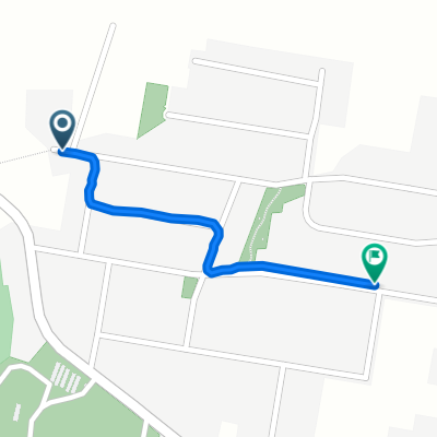
- Cassegrain/Airport/Settlement Point loop
- Beechwood Rd, Yippin Creek to Mackay St, Wauchope
- 1.1 km
- 23 m
- 3 m
- Port Macquarie, New South Wales, Australia
- Googik track to lake Innes
- 27 km
- 306 m
- 307 m
- Port Macquarie, New South Wales, Australia
- Boundary Trail, Port Macquarie to Settlement Point Rd, Port Macquarie
- 8.4 km
- 50 m
- 55 m
- Port Macquarie, New South Wales, Australia
- Matthew Flinders Drive, Port Macquarie to Horton St, Port Macquarie
- 8.2 km
- 156 m
- 161 m
- Port Macquarie, New South Wales, Australia
- 4.Port Mac-Stuarts Point
- 104.7 km
- 163 m
- 174 m
- Port Macquarie, New South Wales, Australia
- Lighthouse to Town beach
- 7.8 km
- 141 m
- 134 m
- Port Macquarie, New South Wales, Australia
- 25 Bay St, Port Macquarie to 25 Bay St, Port Macquarie
- 16 km
- 224 m
- 226 m
- Port Macquarie, New South Wales, Australia
Open it in the app


