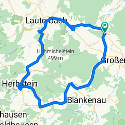
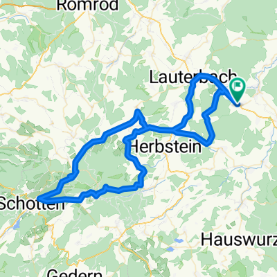
Landenhausen_Hahn
- 144.8 km
- 585 m
- 769 m
- Bad Salzschlirf, Hesse, Germany
A cycling route starting in Bad Salzschlirf, Hesse, Germany.
Overview
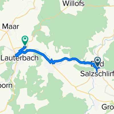
In the afternoon of April 15, 2009, from Lauterbach to Herbstein along the Vulkanradweg
created this 16 years ago
Route quality
Road
8.1 km
(18 %)
Cycleway
7.7 km
(17 %)
Paved
38.7 km
(86 %)
Unpaved
0.9 km
(2 %)
Asphalt
38.7 km
(86 %)
Gravel
0.5 km
(1 %)
Route highlights


Café Zentralstation

Herbstein auf dem Vulkanberg

Continue with Bikemap
You would like to ride Vogelsberg-Vulkanradweg or customize it for your own trip? Here is what you can do with this Bikemap route:
Free trial for 3 days, or one-time payment. More about Bikemap Premium.
Discover more Premium features.
Get Bikemap PremiumFrom our community
Open it in the app