

Col de Vence
A cycling route starting in Carros, Provence-Alpes-Côte d'Azur Region, France.
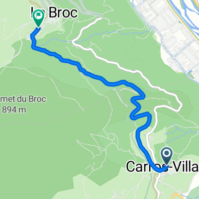
Overview
About this route
- 3 h 36 min
- Duration
- 51.1 km
- Distance
- 2,496 m
- Ascent
- 2,496 m
- Descent
- 14.2 km/h
- Avg. speed
- 1,027 m
- Max. altitude

Route quality
Waytypes & surfaces along the route
Waytypes
Quiet road
6.6 km
(13 %)
Road
5.1 km
(10 %)
Surfaces
Paved
20.5 km
(40 %)
Unpaved
4.1 km
(8 %)
Asphalt
19.9 km
(39 %)
Ground
2.6 km
(5 %)
Continue with Bikemap
Use, edit, or download this cycling route
You would like to ride Col de Vence or customize it for your own trip? Here is what you can do with this Bikemap route:
Free features
- Save this route as favorite or in collections
- Copy & plan your own version of this route
- Sync your route with Garmin or Wahoo
Premium features
Free trial for 3 days, or one-time payment. More about Bikemap Premium.
- Navigate this route on iOS & Android
- Export a GPX / KML file of this route
- Create your custom printout (try it for free)
- Download this route for offline navigation
Discover more Premium features.
Get Bikemap PremiumFrom our community
Other popular routes starting in Carros
 2018 et2y
- Distance
- 56.6 km
- Ascent
- 1,377 m
- Descent
- 1,013 m
- Location
- Carros, Provence-Alpes-Côte d'Azur Region, France
 De 267 3ème Avenue, Carros à 42–302 3ème Avenue, Carros
- Distance
- 10.2 km
- Ascent
- 33 m
- Descent
- 40 m
- Location
- Carros, Provence-Alpes-Côte d'Azur Region, France
 Tour 2016 (Plan): Utelle - Gefrickel - Turini
- Distance
- 156.3 km
- Ascent
- ---
- Descent
- ---
- Location
- Carros, Provence-Alpes-Côte d'Azur Region, France
 Carros-greolieres
- Distance
- 37.3 km
- Ascent
- 1,062 m
- Descent
- 425 m
- Location
- Carros, Provence-Alpes-Côte d'Azur Region, France
 Tour 2016 (Plan): Gorges du Loup & more Variante
- Distance
- 124.4 km
- Ascent
- 1,892 m
- Descent
- 1,893 m
- Location
- Carros, Provence-Alpes-Côte d'Azur Region, France
 Escalier dou Casteu, Carros à Rue de la Voûte, Le Broc
- Distance
- 3.8 km
- Ascent
- 92 m
- Descent
- 29 m
- Location
- Carros, Provence-Alpes-Côte d'Azur Region, France
 Tour 2016 (Plan): Gorges du Loup & more
- Distance
- 115.3 km
- Ascent
- 1,695 m
- Descent
- 1,695 m
- Location
- Carros, Provence-Alpes-Côte d'Azur Region, France
 Carros-Le Broc-St Jeannet.
- Distance
- 34.3 km
- Ascent
- 688 m
- Descent
- 707 m
- Location
- Carros, Provence-Alpes-Côte d'Azur Region, France
Open it in the app