

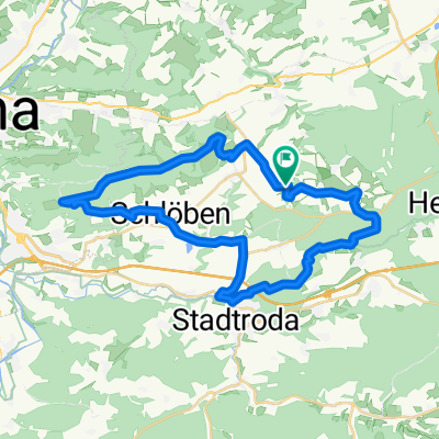
Scheiditz-Waldeck-Hermsdorf-Zeitzgrund-Steckteiche-Scheiditz
A cycling route starting in Scheiditz, Free State of Thuringia, Germany.
Overview
About this route
die Strecke macht viel Spass hat aber auch ein paar Extreme.
- -:--
- Duration
- 23.1 km
- Distance
- 314 m
- Ascent
- 314 m
- Descent
- ---
- Avg. speed
- ---
- Avg. speed
Continue with Bikemap
Use, edit, or download this cycling route
You would like to ride Scheiditz-Waldeck-Hermsdorf-Zeitzgrund-Steckteiche-Scheiditz or customize it for your own trip? Here is what you can do with this Bikemap route:
Free features
- Save this route as favorite or in collections
- Copy & plan your own version of this route
- Sync your route with Garmin or Wahoo
Premium features
Free trial for 3 days, or one-time payment. More about Bikemap Premium.
- Navigate this route on iOS & Android
- Export a GPX / KML file of this route
- Create your custom printout (try it for free)
- Download this route for offline navigation
Discover more Premium features.
Get Bikemap PremiumFrom our community
Other popular routes starting in Scheiditz
 Scheiditz-Waldeck-Hermsdorf-Zeitzgrund-Steckteiche-Scheiditz
- Distance
- 23.1 km
- Ascent
- 314 m
- Descent
- 314 m
- Location
- Scheiditz, Free State of Thuringia, Germany
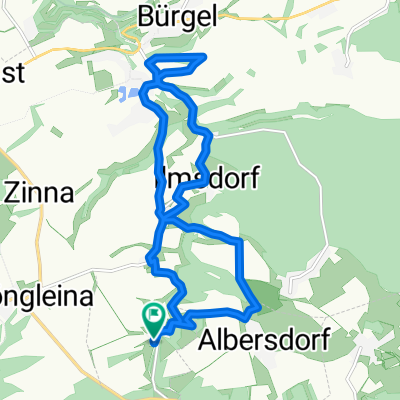 Scheiditz Beulbar Tahlbürgel und gemüdlig zurück
- Distance
- 13 km
- Ascent
- 272 m
- Descent
- 272 m
- Location
- Scheiditz, Free State of Thuringia, Germany
 Coole strecke
- Distance
- 21.6 km
- Ascent
- 288 m
- Descent
- 286 m
- Location
- Scheiditz, Free State of Thuringia, Germany
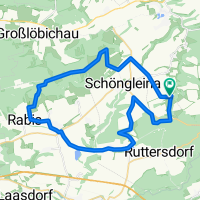 Scheiditz; Flughafenschöngleina; Rabis; Schlöben; Lotschen
- Distance
- 19.3 km
- Ascent
- 283 m
- Descent
- 288 m
- Location
- Scheiditz, Free State of Thuringia, Germany
 Scheiditz-Flugplatz-Rabis-Zeitzgrung
- Distance
- 35.8 km
- Ascent
- 417 m
- Descent
- 417 m
- Location
- Scheiditz, Free State of Thuringia, Germany
Open it in the app