
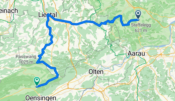
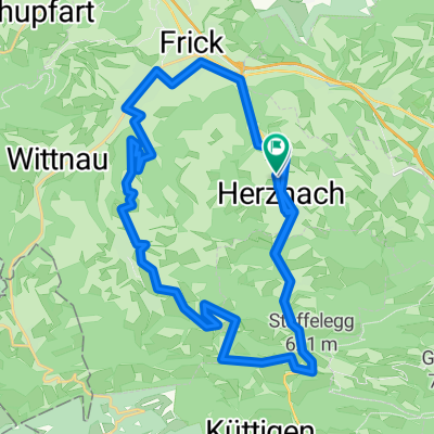
Verte 2: Herznach - Balsthal
A cycling route starting in Densbüren, Canton of Aargau, Switzerland.
Overview
About this route
- -:--
- Duration
- 67.7 km
- Distance
- 1,895 m
- Ascent
- 1,814 m
- Descent
- ---
- Avg. speed
- 1,075 m
- Max. altitude

Route quality
Waytypes & surfaces along the route
Waytypes
Quiet road
23 km
(34 %)
Road
14.9 km
(22 %)
Surfaces
Paved
52.8 km
(78 %)
Unpaved
5.4 km
(8 %)
Asphalt
50.8 km
(75 %)
Gravel
4.7 km
(7 %)
Continue with Bikemap
Use, edit, or download this cycling route
You would like to ride Verte 2: Herznach - Balsthal or customize it for your own trip? Here is what you can do with this Bikemap route:
Free features
- Save this route as favorite or in collections
- Copy & plan your own version of this route
- Sync your route with Garmin or Wahoo
Premium features
Free trial for 3 days, or one-time payment. More about Bikemap Premium.
- Navigate this route on iOS & Android
- Export a GPX / KML file of this route
- Create your custom printout (try it for free)
- Download this route for offline navigation
Discover more Premium features.
Get Bikemap PremiumFrom our community
Other popular routes starting in Densbüren
 Extensive Freitag Track In Herznach
- Distance
- 16.6 km
- Ascent
- 535 m
- Descent
- 528 m
- Location
- Densbüren, Canton of Aargau, Switzerland
 Herznach -rheinfall
- Distance
- 89.8 km
- Ascent
- 449 m
- Descent
- 442 m
- Location
- Densbüren, Canton of Aargau, Switzerland
 Bözberg-Tour
- Distance
- 31.8 km
- Ascent
- 626 m
- Descent
- 613 m
- Location
- Densbüren, Canton of Aargau, Switzerland
 Herznach-Densbüren-Bözen-Frick
- Distance
- 23.3 km
- Ascent
- 355 m
- Descent
- 353 m
- Location
- Densbüren, Canton of Aargau, Switzerland
 Sabine
- Distance
- 81.7 km
- Ascent
- 0 m
- Descent
- 0 m
- Location
- Densbüren, Canton of Aargau, Switzerland
 Verte 2: Herznach - Balsthal
- Distance
- 67.7 km
- Ascent
- 1,895 m
- Descent
- 1,814 m
- Location
- Densbüren, Canton of Aargau, Switzerland
 Aufnahme vom 29.06.2016, 23:21
- Distance
- 38.6 km
- Ascent
- 572 m
- Descent
- 560 m
- Location
- Densbüren, Canton of Aargau, Switzerland
 Staffelegg-Tour
- Distance
- 27 km
- Ascent
- 738 m
- Descent
- 745 m
- Location
- Densbüren, Canton of Aargau, Switzerland
Open it in the app