

Kurd_Kapelle_Annabad_Kurd
A cycling route starting in Döbrököz, Tolna County, Hungary.
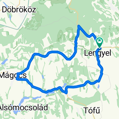
Overview
About this route
Only passable in dry weather because forest and field paths are very slippery in wet weather.
In Hungary, wild areas are often fenced in, so hiking trails suddenly end or, as on this route, a fence must be overcome using an attached ladder.
- -:--
- Duration
- 26.3 km
- Distance
- 312 m
- Ascent
- 312 m
- Descent
- ---
- Avg. speed
- ---
- Max. altitude

Route quality
Waytypes & surfaces along the route
Waytypes
Track
7.1 km
(27 %)
Quiet road
3.2 km
(12 %)
Surfaces
Unpaved
6.1 km
(23 %)
Sand
3.9 km
(15 %)
Ground
2.1 km
(8 %)
Undefined
20.3 km
(77 %)
Route highlights
Points of interest along the route

Photo after 9.5 km
Kapelle

Photo after 9.9 km
Landschaft

Photo after 14.2 km
gesperrter Wanderweg

Photo after 14.4 km
See (Annabad)
Continue with Bikemap
Use, edit, or download this cycling route
You would like to ride Kurd_Kapelle_Annabad_Kurd or customize it for your own trip? Here is what you can do with this Bikemap route:
Free features
- Save this route as favorite or in collections
- Copy & plan your own version of this route
- Sync your route with Garmin or Wahoo
Premium features
Free trial for 3 days, or one-time payment. More about Bikemap Premium.
- Navigate this route on iOS & Android
- Export a GPX / KML file of this route
- Create your custom printout (try it for free)
- Download this route for offline navigation
Discover more Premium features.
Get Bikemap PremiumFrom our community
Other popular routes starting in Döbrököz
 Kurd, Hőgyész, Kalaznó, Győnk, Regöly, Gyulaj, Kurd
- Distance
- 62.2 km
- Ascent
- 354 m
- Descent
- 354 m
- Location
- Döbrököz, Tolna County, Hungary
 Kurd_Tamasi_Kocsola_Kurd
- Distance
- 73.8 km
- Ascent
- 404 m
- Descent
- 406 m
- Location
- Döbrököz, Tolna County, Hungary
 Kurd nach Annafürdö
- Distance
- 11.6 km
- Ascent
- 193 m
- Descent
- 107 m
- Location
- Döbrököz, Tolna County, Hungary
 Kurd, Vörösegyhaza, See, Kurd
- Distance
- 41.3 km
- Ascent
- 299 m
- Descent
- 299 m
- Location
- Döbrököz, Tolna County, Hungary
 EUROTOUR 10
- Distance
- 296.3 km
- Ascent
- 381 m
- Descent
- 466 m
- Location
- Döbrököz, Tolna County, Hungary
 Lengyel-Nagyhajmás-Mágocs-Egyházaskozár-Lengyel
- Distance
- 35.4 km
- Ascent
- 317 m
- Descent
- 317 m
- Location
- Döbrököz, Tolna County, Hungary
 Kurd-Bonyhad-Szálka_See
- Distance
- 45.3 km
- Ascent
- 483 m
- Descent
- 448 m
- Location
- Döbrököz, Tolna County, Hungary
 1nap90
- Distance
- 91.3 km
- Ascent
- 838 m
- Descent
- 792 m
- Location
- Döbrököz, Tolna County, Hungary
Open it in the app