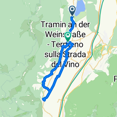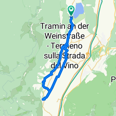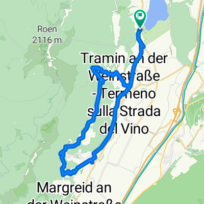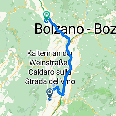


Josef Von Zallinger Straße nach Weingartenweg
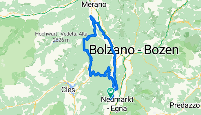
- 37.6 km
- 221 m
- 199 m
- Termeno, Trentino-Alto Adige, Italy
A cycling route starting in Termeno, Trentino-Alto Adige, Italy.
Overview
created this 13 years ago
Continue with Bikemap
You would like to ride Tramin-Gampenpass-Mendelpass or customize it for your own trip? Here is what you can do with this Bikemap route:
Free trial for 3 days, or one-time payment. More about Bikemap Premium.
Discover more Premium features.
Get Bikemap PremiumFrom our community
Open it in the app