Letzter Urlaubstag
- 73.5 km
- 1,897 m
- 1,409 m
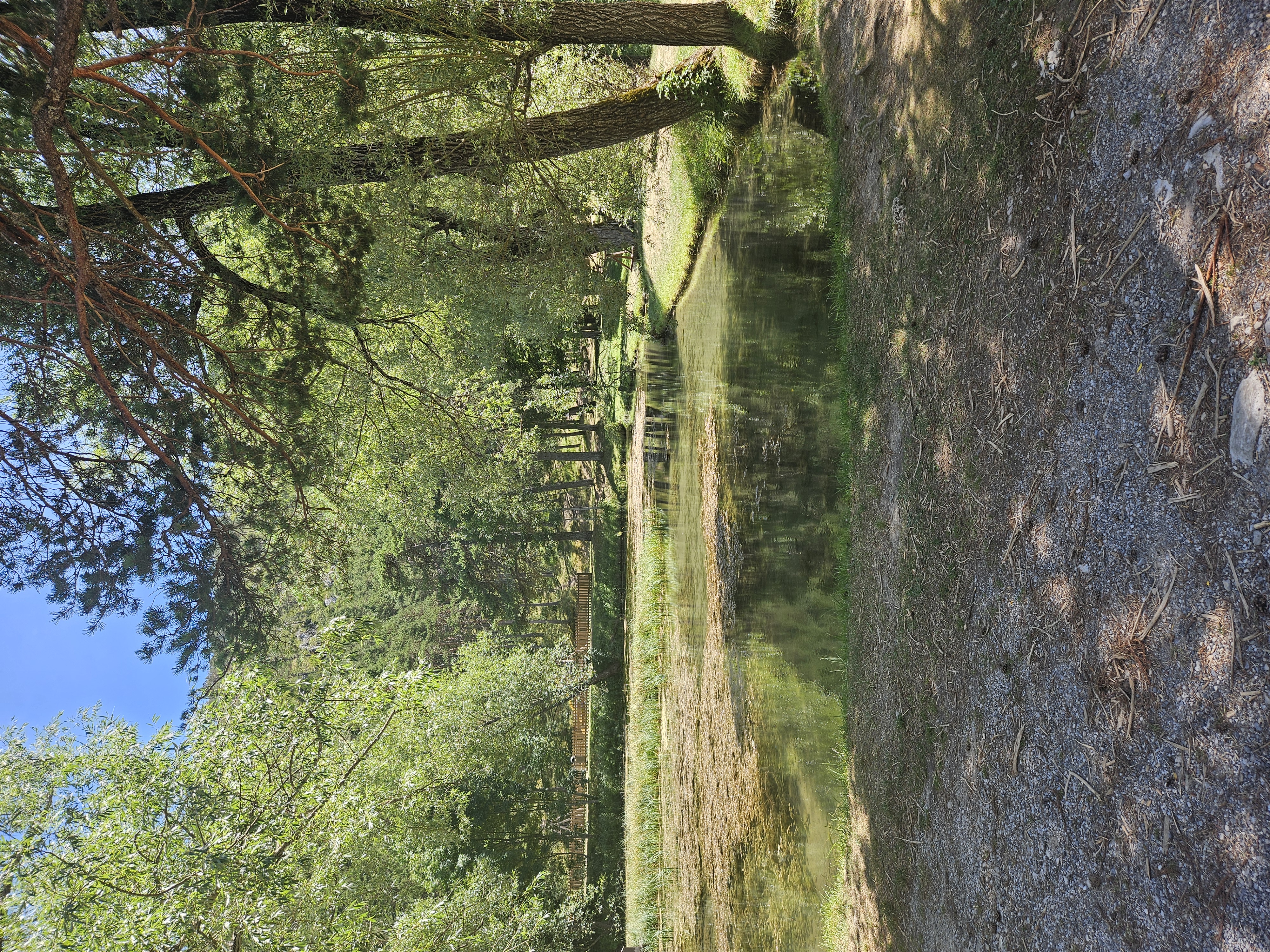
- Annot, Provence-Alpes-Côte d'Azur Region, France
A cycling route starting in Annot, Provence-Alpes-Côte d'Azur Region, France.
Overview
created this 13 years ago
Route quality
Road
41.3 km
(27 %)
Quiet road
3.1 km
(2 %)
Undefined
108.7 km
(71 %)
Paved
130.1 km
(85 %)
Asphalt
130.1 km
(85 %)
Undefined
23 km
(15 %)
Route highlights
Continue with Bikemap
You would like to ride boucles_du_verdon 012 or customize it for your own trip? Here is what you can do with this Bikemap route:
Free trial for 3 days, or one-time payment. More about Bikemap Premium.
Discover more Premium features.
Get Bikemap PremiumFrom our community
Open it in the app