

Wehlen-Radweg Schönfelder Hochland-Wehlen
A cycling route starting in Stadt Wehlen, Saxony, Germany.
Overview
About this route
Start in Dorf Wehlen, über Lohmen nach Porschendorf. Hier auf den Radweg ( Alter Bahndamm ) Schönfelder Hochland bis nach Weißig.
Über Pappritz hinunter zur Elbe nach Hosterwitz und Pillnitz.
Von hier aus immer an der Elbe entlang über Pirna zurück nach Wehlen.
Hier ein letztes Bergaufstück zurück zum Ausgangspunkt. Viel Spass.
- -:--
- Duration
- 50 km
- Distance
- 382 m
- Ascent
- 382 m
- Descent
- ---
- Avg. speed
- ---
- Max. altitude

Route quality
Waytypes & surfaces along the route
Waytypes
Road
18.8 km
(38 %)
Quiet road
13.6 km
(27 %)
Surfaces
Paved
45 km
(90 %)
Unpaved
0.5 km
(1 %)
Asphalt
44.6 km
(89 %)
Paved (undefined)
0.4 km
(<1 %)
Continue with Bikemap
Use, edit, or download this cycling route
You would like to ride Wehlen-Radweg Schönfelder Hochland-Wehlen or customize it for your own trip? Here is what you can do with this Bikemap route:
Free features
- Save this route as favorite or in collections
- Copy & plan your own version of this route
- Sync your route with Garmin or Wahoo
Premium features
Free trial for 3 days, or one-time payment. More about Bikemap Premium.
- Navigate this route on iOS & Android
- Export a GPX / KML file of this route
- Create your custom printout (try it for free)
- Download this route for offline navigation
Discover more Premium features.
Get Bikemap PremiumFrom our community
Other popular routes starting in Stadt Wehlen
 Laasensteig 1, Rathen nach Melli-Beese-Straße 6, Dresden
- Distance
- 25.8 km
- Ascent
- 161 m
- Descent
- 240 m
- Location
- Stadt Wehlen, Saxony, Germany
 RockHead - Craft Your Gravel Story
- Distance
- 328.7 km
- Ascent
- 5,742 m
- Descent
- 5,710 m
- Location
- Stadt Wehlen, Saxony, Germany
 Basteiregion Amselfall - Polenzweg Bad Schandau
- Distance
- 15.3 km
- Ascent
- 533 m
- Descent
- 455 m
- Location
- Stadt Wehlen, Saxony, Germany
 H2: Von der Bastei nach Stadt Wehlen
- Distance
- 5.2 km
- Ascent
- 50 m
- Descent
- 241 m
- Location
- Stadt Wehlen, Saxony, Germany
 Fahrradtour mit Niels
- Distance
- 30.8 km
- Ascent
- 1,333 m
- Descent
- 1,340 m
- Location
- Stadt Wehlen, Saxony, Germany
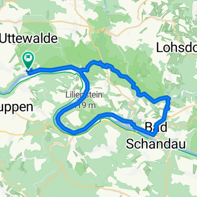
 Basteirunde von Uttewalde
- Distance
- 13.1 km
- Ascent
- 337 m
- Descent
- 338 m
- Location
- Stadt Wehlen, Saxony, Germany
 Festung Königsteiner Runde
- Distance
- 22.8 km
- Ascent
- 439 m
- Descent
- 439 m
- Location
- Stadt Wehlen, Saxony, Germany
 Polenztal über Rathen
- Distance
- 31.9 km
- Ascent
- 491 m
- Descent
- 474 m
- Location
- Stadt Wehlen, Saxony, Germany
Open it in the app