- 14.3 km
- 215 m
- 196 m
- Hyattsville, Maryland, United States
Bike the Sites 2024
A cycling route starting in Hyattsville, Maryland, United States.
Overview
About this route
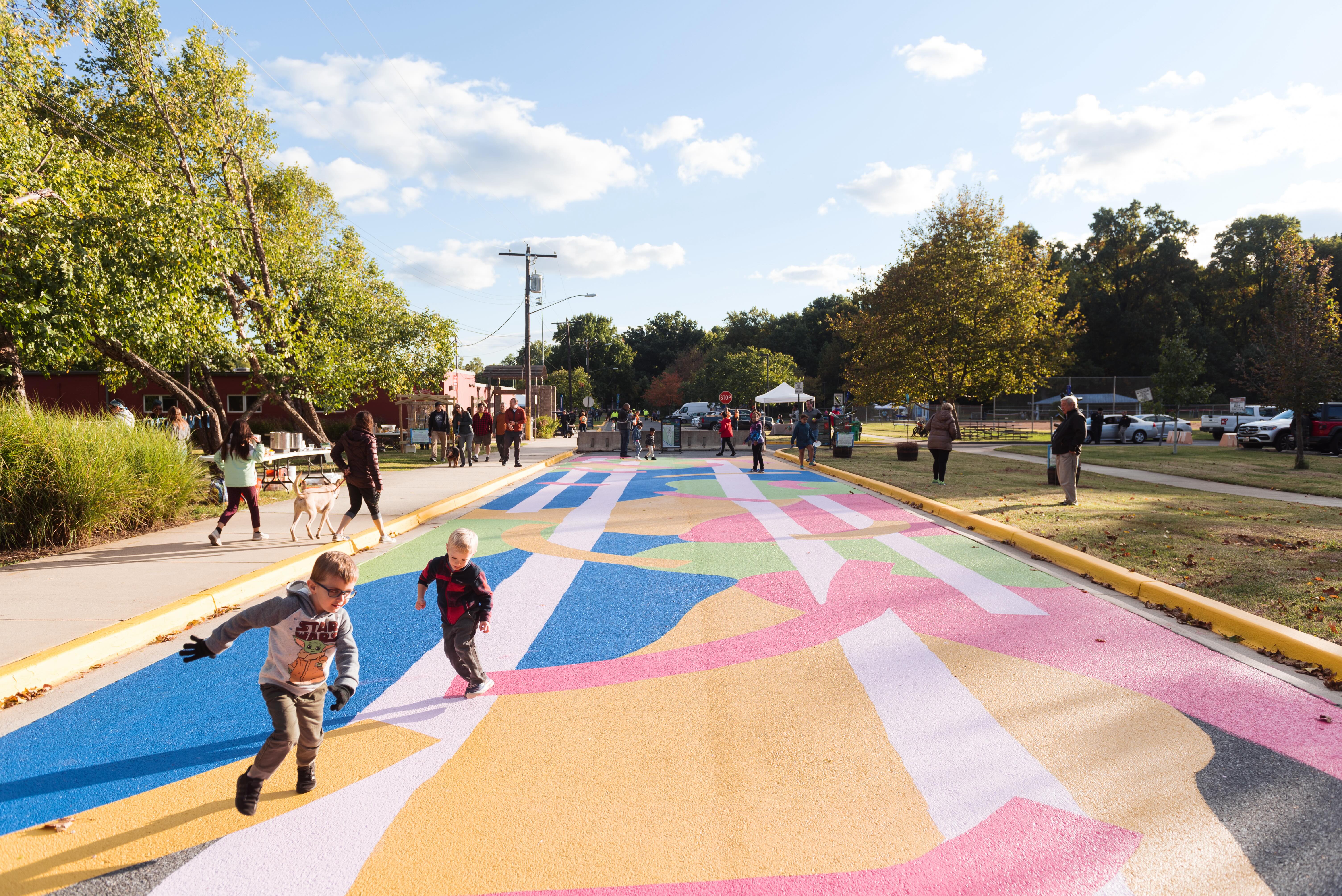
Join the Neighborhood Design Center for our annual Bike the Sites community ride on Saturday, November 9th!
We'll kickoff our ride together at the south pavillion at Driskell Park at 3911 Hamilton St. From there, we'll visit:
Stop 1: The Spot, 4505 Hamilton Street
Stop 2: Lariscy Park, 3613 40th Place
Stop 3: Cottage City Community Center
Stop 4: Entrepreneur Park
Stop 5: Windom Rd Barrier, 3815 Windom Road
Stop 6: 38th Ave Neighborhood Park, 4907 37th Place
Then, we'll head back to Driskell Park to gather for lunch together.
- 38 min
- Duration
- 10 km
- Distance
- 49 m
- Ascent
- 52 m
- Descent
- 15.9 km/h
- Avg. speed
- 23 m
- Max. altitude
created this 1 year ago
Route quality
Waytypes & surfaces along the route
Waytypes
Cycleway
5.8 km
(58 %)
Quiet road
3.3 km
(33 %)
Surfaces
Paved
9.3 km
(93 %)
Asphalt
9.2 km
(92 %)
Wood
0.1 km
(1 %)
Undefined
0.7 km
(7 %)
Route highlights
Points of interest along the route

Point of interest after 0 km
START: Driskell Park Pavillion 3911 Hamilton St, Hyattsville, MD 20781

Point of interest after 2 km
STOP 1: The Spot 4505 Hamilton Street
Point of interest after 4.5 km
STOP 2: Cottage City Park 4300 Bunker Hill Road Cottage City, MD 20722

Point of interest after 5.2 km
STOP 3: Lariscy Park 3613 40th Place
Point of interest after 6 km
WAYPOINT: Cottage City Community Center Feasibility Study Site
Point of interest after 7 km
STOP 4: Entrepreneur Park

Point of interest after 7.2 km
WAYPOINT: Sis's Tavern 4512 41st Ave

Point of interest after 7.8 km
STOP 5: Windom Road Barrier

Point of interest after 9.3 km
STOP 6: 38th Avenue Neighborhood Park
Continue with Bikemap
Use, edit, or download this cycling route
You would like to ride Bike the Sites 2024 or customize it for your own trip? Here is what you can do with this Bikemap route:
Free features
- Save this route as favorite or in collections
- Copy & plan your own version of this route
- Sync your route with Garmin or Wahoo
Premium features
Free trial for 3 days, or one-time payment. More about Bikemap Premium.
- Navigate this route on iOS & Android
- Export a GPX / KML file of this route
- Create your custom printout (try it for free)
- Download this route for offline navigation
Discover more Premium features.
Get Bikemap PremiumFrom our community
Other popular routes starting in Hyattsville
- hyattsville to farragut north
- Bike to Work
- 9.2 km
- 51 m
- 63 m
- Hyattsville, Maryland, United States
- Greenbelt Park
- 9.1 km
- 122 m
- 105 m
- Hyattsville, Maryland, United States
- Silver Spring Downtown
- 10.7 km
- 167 m
- 79 m
- Hyattsville, Maryland, United States
- 6104 44th Ave, Riverdale Park to 6104 44th Ave, Riverdale Park
- 37.6 km
- 362 m
- 362 m
- Hyattsville, Maryland, United States
- 6104 44th Ave, Riverdale Park to 6104 44th Ave, Riverdale Park
- 9.4 km
- 32 m
- 61 m
- Hyattsville, Maryland, United States
- 6106 44th Ave, Riverdale Park to 8030 Chestnut Ave, Bowie
- 24 km
- 343 m
- 336 m
- Hyattsville, Maryland, United States
- 5901 40th Ave, Hyattsville to 9231–9301 Sligo Creek Pkwy, Silver Spring
- 10.8 km
- 97 m
- 48 m
- Hyattsville, Maryland, United States
Open it in the app


