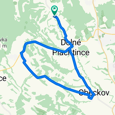
Str. Plachtince - Príbelce - Škriavnik - Obeckov - Str. Plachtince
- 21.4 km
- 201 m
- 202 m
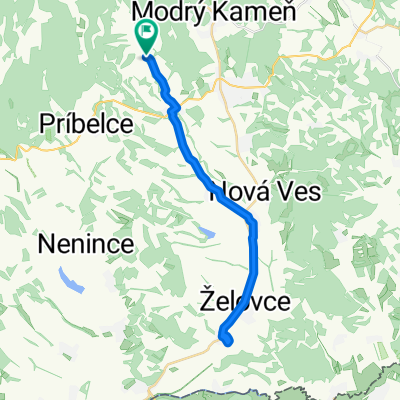
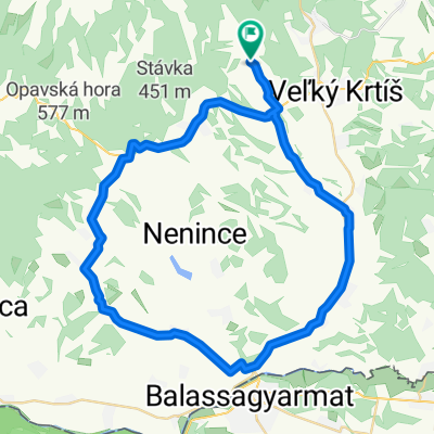
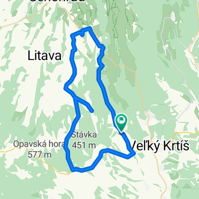
- Veľký Krtíš, Banská Bystrica Region, Slovakia
A cycling route starting in Veľký Krtíš, Banská Bystrica Region, Slovakia.
Overview
Cyklovýlet na kupko Dolná Strehová
<span style="background-color: initial; font-family: Arial, Helvetica, sans-serif; font-size: 11px; padding: 0px; margin: 0px;">Vzdálenost:</span><span style="background-color: initial; font-family: Arial, Helvetica, sans-serif; font-size: 11px;"> </span><span style="background-color: initial; font-family: Arial, Helvetica, sans-serif; font-size: 11px;">68.3 km</span><br /><span style="background-color: initial; font-family: Arial, Helvetica, sans-serif; font-size: 11px; padding: 0px; margin: 0px;">N</span><span style="background-color: initial; font-family: Arial, Helvetica, sans-serif; font-size: 11px; padding: 0px; margin: 0px;">astoupáno:</span><span style="background-color: initial; font-family: Arial, Helvetica, sans-serif; font-size: 11px;"> </span><span style="background-color: initial; font-family: Arial, Helvetica, sans-serif; font-size: 11px;">ca.</span><span style="background-color: initial; font-family: Arial, Helvetica, sans-serif; font-size: 11px;"> </span><span id="altitude_difference_forward" style="background-color: initial; font-family: Arial, Helvetica, sans-serif; font-size: 11px; padding: 0px; margin: 0px;">760</span><span style="background-color: initial; font-family: Arial, Helvetica, sans-serif; font-size: 11px;"> </span><span style="background-color: initial; font-family: Arial, Helvetica, sans-serif; font-size: 11px;">m</span>
created this 13 years ago
Route quality
Road
33.5 km
(49 %)
Quiet road
7.5 km
(11 %)
Paved
20.5 km
(30 %)
Unpaved
0.7 km
(1 %)
Asphalt
17.8 km
(26 %)
Paved (undefined)
2.7 km
(4 %)
Continue with Bikemap
You would like to ride BB-Dolná Strehová 2 or customize it for your own trip? Here is what you can do with this Bikemap route:
Free trial for 3 days, or one-time payment. More about Bikemap Premium.
Discover more Premium features.
Get Bikemap PremiumFrom our community
Open it in the app