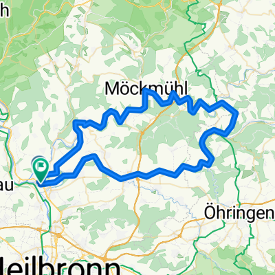
Tour de Burg Hornberg Extended
- 67.8 km
- 637 m
- 637 m
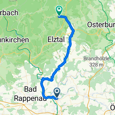
- Untereisesheim, Baden-Wurttemberg, Germany
A cycling route starting in Untereisesheim, Baden-Wurttemberg, Germany.
Overview
2.5h
Along the mountain ridge through the forest until just before Mosbach. From behind to Homberg Castle - then through the castle down to the Neckar.
created this 13 years ago
Route quality
Track
18.1 km
(42 %)
Quiet road
7.8 km
(18 %)
Paved
29.3 km
(68 %)
Unpaved
7.8 km
(18 %)
Asphalt
28 km
(65 %)
Gravel
3.9 km
(9 %)
Continue with Bikemap
You would like to ride BFH Richtung Mosbach or customize it for your own trip? Here is what you can do with this Bikemap route:
Free trial for 3 days, or one-time payment. More about Bikemap Premium.
Discover more Premium features.
Get Bikemap PremiumFrom our community
Open it in the app