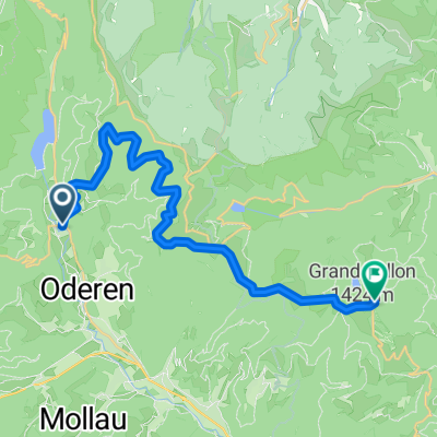
rund um Rothenkopf
- 36.1 km
- 1,016 m
- 1,013 m
- Kruth, Grand Est, France
A cycling route starting in Kruth, Grand Est, France.
Overview
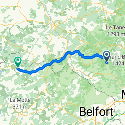
9 stages- Kruth-Remiremont-Tonnoy-Nancy-Metz-Perl-Trier-Bernkastel-Treis Karden-Koblenz
created this 1 year ago


Route quality
Path
279.9 km
(45 %)
Quiet road
80.9 km
(13 %)
Paved
553.6 km
(89 %)
Unpaved
12.4 km
(2 %)
Asphalt
534.9 km
(86 %)
Paved (undefined)
12.4 km
(2 %)
Continue with Bikemap
You would like to ride moselradweg kruth-koblenz or customize it for your own trip? Here is what you can do with this Bikemap route:
Free trial for 3 days, or one-time payment. More about Bikemap Premium.
Discover more Premium features.
Get Bikemap PremiumFrom our community
Open it in the app