Col de la Croix de Fer
- 71.9 km
- 1,963 m
- 1,963 m
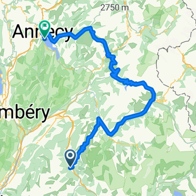
- Saint-Etienne-de-Cuines, Auvergne-Rhône-Alpes, France
A cycling route starting in Saint-Etienne-de-Cuines, Auvergne-Rhône-Alpes, France.
Overview
Seems nasty but possible. Who knows. - Seems nasty but possible. Who knows.
created this 1 year ago
Route quality
Track
25.9 km
(60 %)
Path
16.8 km
(39 %)
Undefined
0.4 km
(1 %)
Unpaved
16.8 km
(39 %)
Unpaved (undefined)
11.7 km
(27 %)
Ground
3 km
(7 %)
Continue with Bikemap
You would like to ride More Recon or customize it for your own trip? Here is what you can do with this Bikemap route:
Free trial for 3 days, or one-time payment. More about Bikemap Premium.
Discover more Premium features.
Get Bikemap PremiumFrom our community
Open it in the app