

Hummelstown to Marietta
A cycling route starting in Skyline View, Pennsylvania, United States.
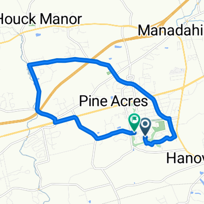
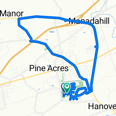
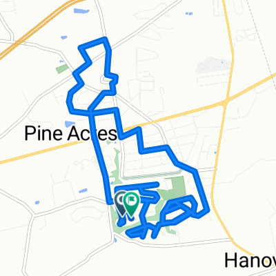
Overview
About this route
This route was selected for best combination of being direct and lesser traffic. The section on PA 39 had much traffic. However, most of this portion had very wide and well-maintained shoulders. Grandview Road had some traffic and one downhill ends at a stop sign.
The hills heading south on Waltonville Road are some of the worst in the area. Traffic south was light from this point into Elizabethtown. Snavely Road is paved but not to the standard of most township roads. 743 south of Elizabethtown did not have much traffic southbound.
Adding some distance to avoid the Waltonville Road hills may be worthwhile
- 2 h 48 min
- Duration
- 42.6 km
- Distance
- 490 m
- Ascent
- 533 m
- Descent
- 15.2 km/h
- Avg. speed
- 237 m
- Max. altitude
Route quality
Waytypes & surfaces along the route
Waytypes
Quiet road
16.2 km
(38 %)
Road
8.5 km
(20 %)
Surfaces
Paved
13.6 km
(32 %)
Asphalt
13.6 km
(32 %)
Undefined
28.9 km
(68 %)
Continue with Bikemap
Use, edit, or download this cycling route
You would like to ride Hummelstown to Marietta or customize it for your own trip? Here is what you can do with this Bikemap route:
Free features
- Save this route as favorite or in collections
- Copy & plan your own version of this route
- Sync your route with Garmin or Wahoo
Premium features
Free trial for 3 days, or one-time payment. More about Bikemap Premium.
- Navigate this route on iOS & Android
- Export a GPX / KML file of this route
- Create your custom printout (try it for free)
- Download this route for offline navigation
Discover more Premium features.
Get Bikemap PremiumFrom our community
Other popular routes starting in Skyline View
 Route in Harrisburg
- Distance
- 10.8 km
- Ascent
- 81 m
- Descent
- 81 m
- Location
- Skyline View, Pennsylvania, United States
 Swatara Gap 40 miler
- Distance
- 65.3 km
- Ascent
- 311 m
- Descent
- 312 m
- Location
- Skyline View, Pennsylvania, United States
 Allentown Boulevard to Chocolate World Way
- Distance
- 13.8 km
- Ascent
- 80 m
- Descent
- 117 m
- Location
- Skyline View, Pennsylvania, United States
 Neighborhood Linglestown Rd loop
- Distance
- 17.4 km
- Ascent
- 184 m
- Descent
- 149 m
- Location
- Skyline View, Pennsylvania, United States
 NYC Final
- Distance
- 357 km
- Ascent
- 2,199 m
- Descent
- 2,328 m
- Location
- Skyline View, Pennsylvania, United States
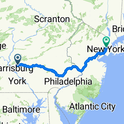
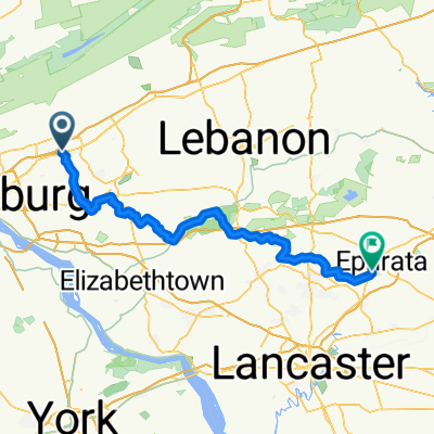 From Harrisburg to Ephrata
- Distance
- 74.5 km
- Ascent
- 712 m
- Descent
- 754 m
- Location
- Skyline View, Pennsylvania, United States
 Double Blue Ridge 3Bs
- Distance
- 26.3 km
- Ascent
- 511 m
- Descent
- 498 m
- Location
- Skyline View, Pennsylvania, United States
 Chervil Court to Chervil Court
- Distance
- 14 km
- Ascent
- 126 m
- Descent
- 94 m
- Location
- Skyline View, Pennsylvania, United States
Open it in the app