Blankenseer Runde
- 96.8 km
- 152 m
- 152 m
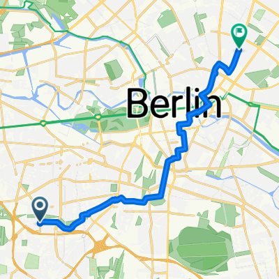
- Wilmersdorf, State of Berlin, Germany
A cycling route starting in Wilmersdorf, State of Berlin, Germany.
Overview
created this 1 year ago
Route quality
Road
9.2 km
(27 %)
Track
5.4 km
(16 %)
Paved
23.7 km
(70 %)
Unpaved
4.1 km
(12 %)
Asphalt
23.4 km
(69 %)
Gravel
2.7 km
(8 %)
Continue with Bikemap
You would like to ride 52.489, 13.309 a 52.386, 13.198 or customize it for your own trip? Here is what you can do with this Bikemap route:
Free trial for 3 days, or one-time payment. More about Bikemap Premium.
Discover more Premium features.
Get Bikemap PremiumFrom our community
Open it in the app