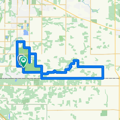
guildford tocampbell valley park
- 50.3 km
- 416 m
- 449 m
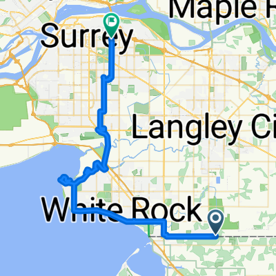
- Township of Langley, British Columbia, Canada
A cycling route starting in Township of Langley, British Columbia, Canada.
Overview
Mostly farmland, forest, very rural and on non-through roads to limit traffic. Rolling hills up to 1km in length. good pavement. quiet, vehicles seem to all yield. good parking at start/finish. Might be best ridden clockwise. Busiest road (40th ave) has excellent shoulder.
created this 13 years ago
Route quality
Road
11.2 km
(29 %)
Quiet road
11.2 km
(29 %)
Paved
29.5 km
(76 %)
Asphalt
29.5 km
(76 %)
Undefined
9.3 km
(24 %)
Continue with Bikemap
You would like to ride rolling rural or customize it for your own trip? Here is what you can do with this Bikemap route:
Free trial for 3 days, or one-time payment. More about Bikemap Premium.
Discover more Premium features.
Get Bikemap PremiumFrom our community
Open it in the app