Stóg izerski
- 118.3 km
- 1,221 m
- 1,221 m
- Gmina Lwówek Śląski, Lower Silesian Voivodeship, Poland
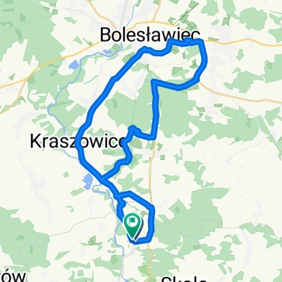
ridden in May 2012 with a touring bike, partially ER 4, to Kraszowice; then on quiet roads
Road
10.8 km49 %Quiet road
7.1 km32 %Paved
8.8 km(40 %)Unpaved
0.4 km(2 %)Asphalt
8.8 km40 %Gravel
0.4 km2 %Undefined
12.8 km58 %Free trial for 3 days, or one-time payment. More about Bikemap Premium.
Discover more Premium features.
Get Bikemap PremiumOpen it in the app