

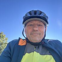
Luino - Rancio Valcuvia - Cuasso al Monte - Luino
A cycling route starting in Germignaga, Lombardy, Italy.
Overview
About this route
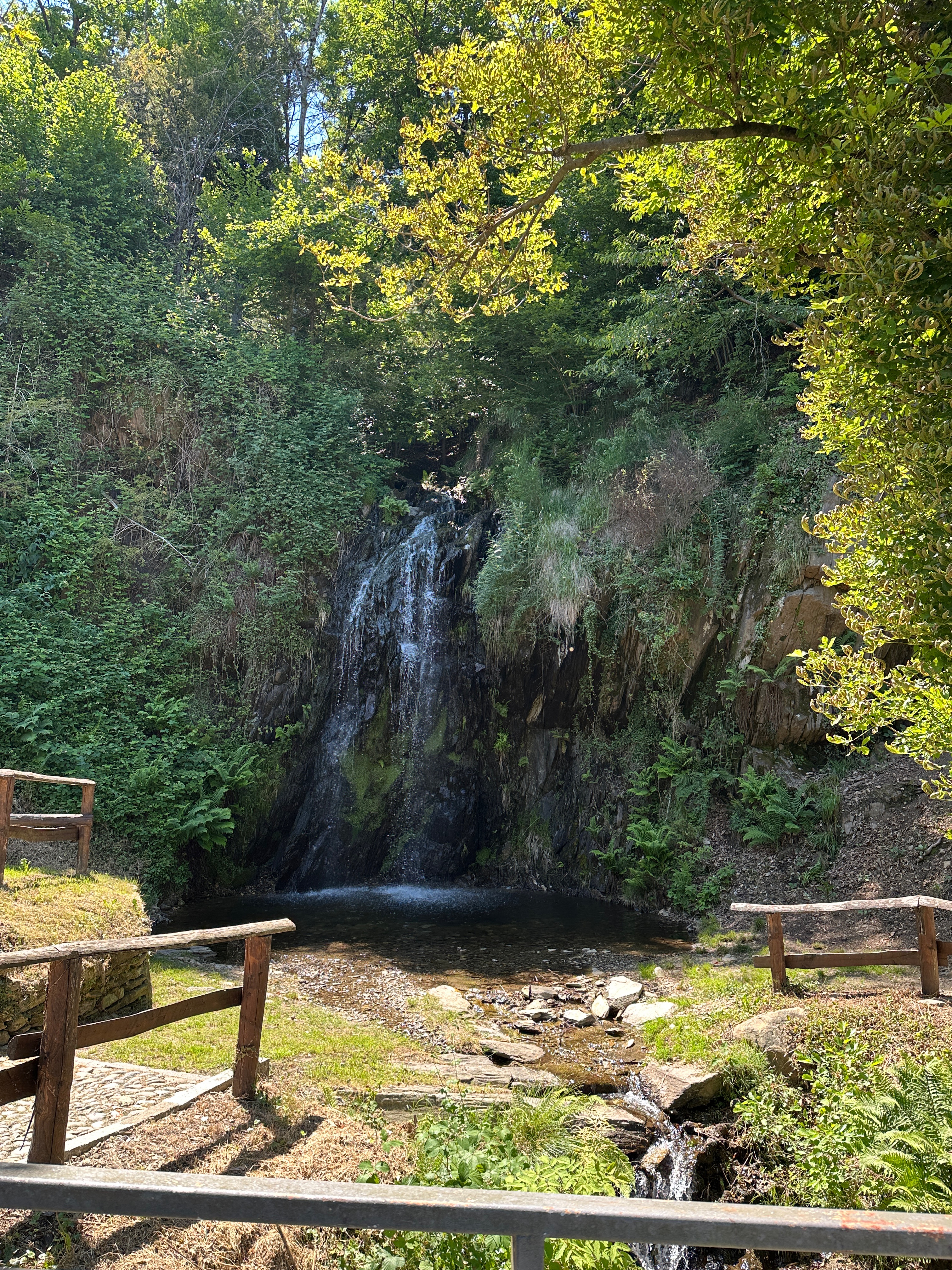
From Germignaga, a beautiful flat cycle path leads to Mesenzana. Follow it to the restaurant La Bruschetta in Rancio Valcuvia, then the climb begins. However, the real climb of this ride is the next one: Alpe Tedesco.
- -:--
- Duration
- 55.6 km
- Distance
- 938 m
- Ascent
- 938 m
- Descent
- ---
- Avg. speed
- ---
- Max. altitude

Route quality
Waytypes & surfaces along the route
Waytypes
Road
10.6 km
(19 %)
Quiet road
10 km
(18 %)
Surfaces
Paved
49 km
(88 %)
Asphalt
49 km
(88 %)
Undefined
6.7 km
(12 %)
Continue with Bikemap
Use, edit, or download this cycling route
You would like to ride Luino - Rancio Valcuvia - Cuasso al Monte - Luino or customize it for your own trip? Here is what you can do with this Bikemap route:
Free features
- Save this route as favorite or in collections
- Copy & plan your own version of this route
- Sync your route with Garmin or Wahoo
Premium features
Free trial for 3 days, or one-time payment. More about Bikemap Premium.
- Navigate this route on iOS & Android
- Export a GPX / KML file of this route
- Create your custom printout (try it for free)
- Download this route for offline navigation
Discover more Premium features.
Get Bikemap PremiumFrom our community
Other popular routes starting in Germignaga
 Via Fratelli Rosselli, Germignaga nach Via Fratelli Rosselli, Germignaga
- Distance
- 30.4 km
- Ascent
- 156 m
- Descent
- 159 m
- Location
- Germignaga, Lombardy, Italy
 luino lago di monate
- Distance
- 71.1 km
- Ascent
- 383 m
- Descent
- 385 m
- Location
- Germignaga, Lombardy, Italy
 Luino - Rancio Valcuvia - Cuasso al Monte - Luino
- Distance
- 55.6 km
- Ascent
- 938 m
- Descent
- 938 m
- Location
- Germignaga, Lombardy, Italy
 Mit der Apple Watch am 25. Juni, 11:23 aufgenommen
- Distance
- 24.2 km
- Ascent
- 893 m
- Descent
- 837 m
- Location
- Germignaga, Lombardy, Italy
 Val Verzasca
- Distance
- 118.8 km
- Ascent
- 859 m
- Descent
- 858 m
- Location
- Germignaga, Lombardy, Italy
 Luino
Luino- Distance
- 45.2 km
- Ascent
- 1,564 m
- Descent
- 1,564 m
- Location
- Germignaga, Lombardy, Italy
 Germignaga-Bedero Valtravaglia
- Distance
- 3 km
- Ascent
- 170 m
- Descent
- 28 m
- Location
- Germignaga, Lombardy, Italy
 Laveno - Valcuvia
- Distance
- 42.7 km
- Ascent
- 468 m
- Descent
- 468 m
- Location
- Germignaga, Lombardy, Italy
Open it in the app