

H'hof-Ochsenfurt-Acholshausen-Fuchsstadt-H'hof
A cycling route starting in Randersacker, Bavaria, Germany.
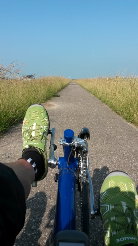
Overview
About this route
About 90% asphalt, the remaining route can be easily ridden with a normal touring bike.
Roads used by cars need to be used only for very short sections (in Goßmannsdorf due to construction on the bike path, in Acholhausen), otherwise the route follows bike paths or agricultural roads.
- -:--
- Duration
- 33.3 km
- Distance
- 256 m
- Ascent
- 255 m
- Descent
- ---
- Avg. speed
- ---
- Max. altitude
Route quality
Waytypes & surfaces along the route
Waytypes
Track
13.7 km
(41 %)
Quiet road
7.3 km
(22 %)
Surfaces
Paved
26.3 km
(79 %)
Unpaved
4.3 km
(13 %)
Asphalt
21.3 km
(64 %)
Paved (undefined)
3 km
(9 %)
Continue with Bikemap
Use, edit, or download this cycling route
You would like to ride H'hof-Ochsenfurt-Acholshausen-Fuchsstadt-H'hof or customize it for your own trip? Here is what you can do with this Bikemap route:
Free features
- Save this route as favorite or in collections
- Copy & plan your own version of this route
- Sync your route with Garmin or Wahoo
Premium features
Free trial for 3 days, or one-time payment. More about Bikemap Premium.
- Navigate this route on iOS & Android
- Export a GPX / KML file of this route
- Create your custom printout (try it for free)
- Download this route for offline navigation
Discover more Premium features.
Get Bikemap PremiumFrom our community
Other popular routes starting in Randersacker
 Radtour 2019 - Version 2
- Distance
- 101.6 km
- Ascent
- 77 m
- Descent
- 83 m
- Location
- Randersacker, Bavaria, Germany
 Ostwind
- Distance
- 88.1 km
- Ascent
- 402 m
- Descent
- 402 m
- Location
- Randersacker, Bavaria, Germany
 D-Tour-2018_5. Tag_end
- Distance
- 145.2 km
- Ascent
- 1,152 m
- Descent
- 1,056 m
- Location
- Randersacker, Bavaria, Germany
 Berner Straße 23, Würzburg nach St2312, Bischbrunn
- Distance
- 49.7 km
- Ascent
- 946 m
- Descent
- 865 m
- Location
- Randersacker, Bavaria, Germany
 R_Wü_Ochsengrund
- Distance
- 59.5 km
- Ascent
- 367 m
- Descent
- 367 m
- Location
- Randersacker, Bavaria, Germany
 Schloss Frankenberg
- Distance
- 86.4 km
- Ascent
- 309 m
- Descent
- 309 m
- Location
- Randersacker, Bavaria, Germany
 Mainradtour 2013 Fünfte Etappe
- Distance
- 55.5 km
- Ascent
- 85 m
- Descent
- 72 m
- Location
- Randersacker, Bavaria, Germany
 Sonntagsausflug 11.07.21
- Distance
- 100.7 km
- Ascent
- 299 m
- Descent
- 299 m
- Location
- Randersacker, Bavaria, Germany
Open it in the app