2. Trainingsroute etwas anspruchsvoller
- 34.2 km
- 523 m
- 523 m
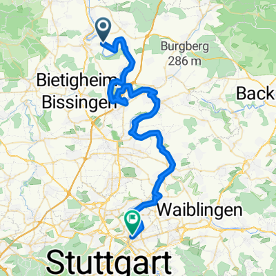
- Hessigheim, Baden-Wurttemberg, Germany
A cycling route starting in Hessigheim, Baden-Wurttemberg, Germany.
Overview
Nice training route along the Neckartalradweg from Hessigheim to the Pleidelsheim quarry, then left onto agricultural roads to Murr and from there to Steinheim, continuing to Höpfigheim and from there along the old connecting road to Großbottwar, where the training hill awaits halfway. The route always goes through the forest on well-ridable paths up to the summit. At the top, in good weather, you can see beyond Stuttgart. Then it returns via Großbottwar, Höpfigheim, and Mundelsheim (via Hardtweg) back to the starting point. A nice route, not too difficult and ideal for daily training. Duration approximately 1.5 - 2.5 hours, depending on speed.
created this 13 years ago
Route quality
Track
25.1 km
66 %
Quiet road
4.9 km
13 %
Paved
28.5 km
(75 %)
Unpaved
7.6 km
(20 %)
Asphalt
24.3 km
64 %
Gravel
5.7 km
15 %
Continue with Bikemap
You would like to ride Leicht hügelige Trainingsroute or customize it for your own trip? Here is what you can do with this Bikemap route:
Free trial for 3 days, or one-time payment. More about Bikemap Premium.
Discover more Premium features.
Get Bikemap PremiumFrom our community
Open it in the app