Lützelsee Vorderer Pfannenstiel
- 9.1 km
- 288 m
- 70 m
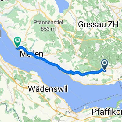
- Hombrechtikon, Canton of Zurich, Switzerland
A cycling route starting in Hombrechtikon, Canton of Zurich, Switzerland.
Overview
created this 13 years ago
Route quality
Track
13 km
(51 %)
Path
6.1 km
(24 %)
Paved
5.6 km
(22 %)
Unpaved
16.3 km
(64 %)
Gravel
14.8 km
(58 %)
Asphalt
5.6 km
(22 %)
Continue with Bikemap
You would like to ride Hombrechtikon - Hochwacht or customize it for your own trip? Here is what you can do with this Bikemap route:
Free trial for 3 days, or one-time payment. More about Bikemap Premium.
Discover more Premium features.
Get Bikemap PremiumFrom our community
Open it in the app