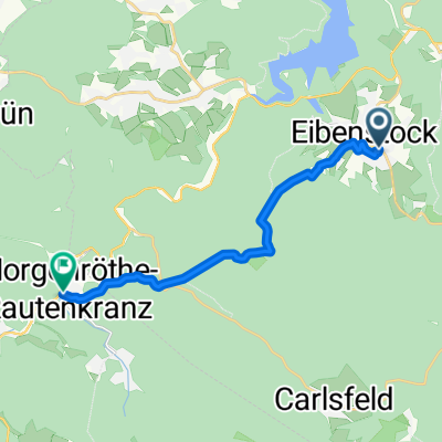
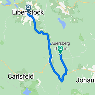
20250520_Zwickauer_Mulde_Etappe 2
A cycling route starting in Eibenstock, Saxony, Germany.
Overview
About this route
- 3 h 3 min
- Duration
- 47.1 km
- Distance
- 517 m
- Ascent
- 876 m
- Descent
- 15.5 km/h
- Avg. speed
- 643 m
- Avg. speed
Route photos
Route quality
Waytypes & surfaces along the route
Waytypes
Road
12.6 km
(27 %)
Quiet road
12.2 km
(26 %)
Surfaces
Paved
35.6 km
(76 %)
Unpaved
2.6 km
(6 %)
Asphalt
34 km
(72 %)
Gravel
1.5 km
(3 %)
Route highlights
Points of interest along the route
Point of interest after 3.1 km
Kreuzung Radweg Karlsroute
Point of interest after 3.4 km
Kneippanlage
Point of interest after 4.1 km
Blauenthaler Wasserfall
Point of interest after 11 km
Tunnel Mulderadweg
Point of interest after 18.4 km
Lost Place Ehemaliges Nachtsanatorium
Point of interest after 23.8 km
Prinzenhöhle mit Wirtshaus
Point of interest after 25.1 km
Romantik Hotel Jagdhaus Waldidyll
Point of interest after 26 km
Burg und Schloss Stein Führungen 13 -16 Uhr zu jeder vollen Stunde
Point of interest after 26.2 km
Hotel Schloss Wolfsbrunn
Point of interest after 29.1 km
Kirche Langenbach
Point of interest after 34.8 km
Schloss Wiesenburg
Point of interest after 45 km
Bergbauehrung Kohlewagen
Point of interest after 45.3 km
Sportanlage Calisthenics
Continue with Bikemap
Use, edit, or download this cycling route
You would like to ride 20250520_Zwickauer_Mulde_Etappe 2 or customize it for your own trip? Here is what you can do with this Bikemap route:
Free features
- Save this route as favorite or in collections
- Copy & plan your own version of this route
- Sync your route with Garmin or Wahoo
Premium features
Free trial for 3 days, or one-time payment. More about Bikemap Premium.
- Navigate this route on iOS & Android
- Export a GPX / KML file of this route
- Create your custom printout (try it for free)
- Download this route for offline navigation
Discover more Premium features.
Get Bikemap PremiumFrom our community
Other popular routes starting in Eibenstock
- Talsperrentour Eibenstock
- Distance
- 29.1 km
- Ascent
- 477 m
- Descent
- 477 m
- Location
- Eibenstock, Saxony, Germany
- Auersberg/ Tschechien/ Kammweg und zurück
- Distance
- 53.3 km
- Ascent
- 987 m
- Descent
- 986 m
- Location
- Eibenstock, Saxony, Germany
- Rundtour Eibenstock-Riesenberger Häuser-Kammweg-Carlsfeld
- Distance
- 33.7 km
- Ascent
- 484 m
- Descent
- 484 m
- Location
- Eibenstock, Saxony, Germany
- 20250520_Zwickauer_Mulde_Etappe 2
- Distance
- 47.1 km
- Ascent
- 517 m
- Descent
- 876 m
- Location
- Eibenstock, Saxony, Germany
- Himmelfahrt 2020 "Jungs"
- Distance
- 40.4 km
- Ascent
- 429 m
- Descent
- 427 m
- Location
- Eibenstock, Saxony, Germany
- Drei-Talsperren-Marathon Eibenstock (30km)
- Distance
- 30.6 km
- Ascent
- 577 m
- Descent
- 574 m
- Location
- Eibenstock, Saxony, Germany
- Carlsfelder Hauptstraße 11, Eibenstock nach Carlsfeld, Hauptstr, Eibenstock
- Distance
- 10.4 km
- Ascent
- 228 m
- Descent
- 228 m
- Location
- Eibenstock, Saxony, Germany
- Talsperre Eibenstock
- Distance
- 28 km
- Ascent
- 456 m
- Descent
- 451 m
- Location
- Eibenstock, Saxony, Germany
Open it in the app