![소하동Ph0]으로 라우팅](https://media.bikemap.net/routes/17625573/gallery/thumbs/2a3c9ec6-ac28-4449-bb7b-e0a78a0b8bb1.jpg.208x208_q80_crop.jpg)
소하동Ph0]으로 라우팅
- 27.9 km
- 67 m
- 84 m
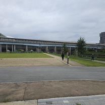
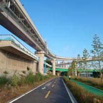
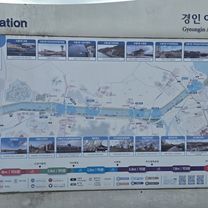
- Gwangmyeong, Gyeonggi-do, South Korea
A cycling route starting in Gwangmyeong, Gyeonggi-do, South Korea.
Overview
created this 1 year ago
Continue with Bikemap
You would like to ride 여의도동 29-1, 서울특별시 to 신정동 1311-1, 서울특별시 or customize it for your own trip? Here is what you can do with this Bikemap route:
Free trial for 3 days, or one-time payment. More about Bikemap Premium.
Discover more Premium features.
Get Bikemap PremiumFrom our community
Open it in the app

![도림동 32-11Ph0]으로 라우팅](https://media.bikemap.net/routes/17668853/gallery/thumbs/ae2528c2-f201-4335-9948-e1f48ad40c42.jpg.208x208_q80_crop.jpg)