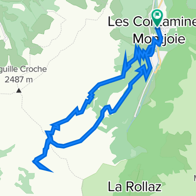
WAC 2014 E03 Contamines - Ref. Coire
- 51.7 km
- 2,231 m
- 1,337 m
- Les Contamines-Montjoie, Auvergne-Rhône-Alpes, France
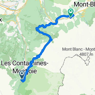
Route des Grandes Alpes Gravel
A cycling route starting in Les Contamines-Montjoie, Auvergne-Rhône-Alpes, France.
Overview
created this 1 year ago
Part of
Route des Grandes Alpes Gravel
2 stages
Route quality
Quiet road
33.2 km
(44 %)
Track
22.6 km
(30 %)
Paved
32.4 km
(43 %)
Unpaved
17.3 km
(23 %)
Asphalt
32.4 km
(43 %)
Gravel
9 km
(12 %)
Continue with Bikemap
You would like to ride RGA Gravel 2_Contamines-Bg-St-Maurice or customize it for your own trip? Here is what you can do with this Bikemap route:
Free trial for 3 days, or one-time payment. More about Bikemap Premium.
Discover more Premium features.
Get Bikemap PremiumFrom our community
Open it in the app