

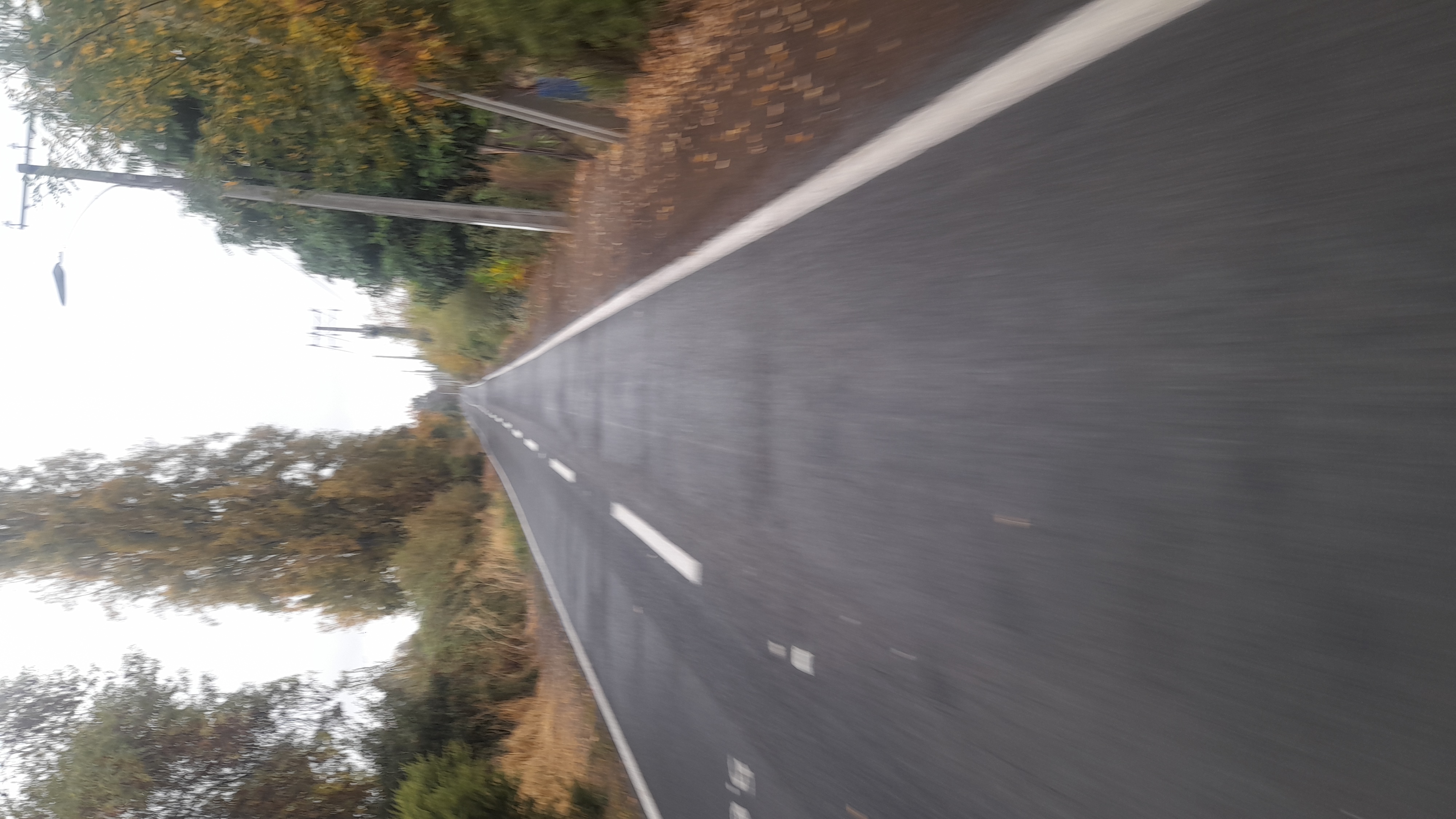
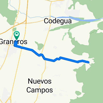
San Francisco, Mostazal a San Francisco, Mostazal
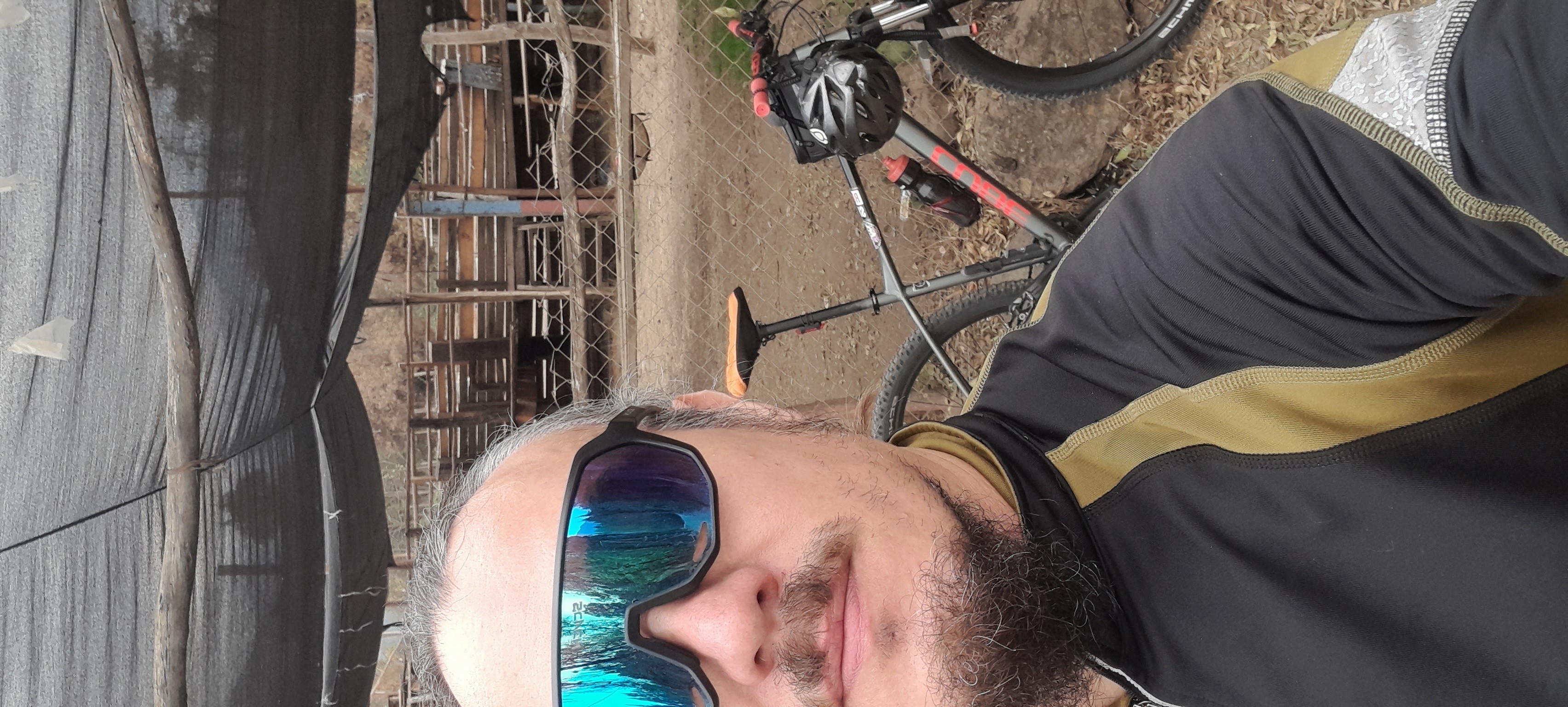
A cycling route starting in Graneros, Región del Libertador General Bernardo O’Higgins, Chile.
Overview
About this route
- 50 min
- Duration
- 6.1 km
- Distance
- 197 m
- Ascent
- 191 m
- Descent
- 7.4 km/h
- Avg. speed
- 646 m
- Max. altitude
Continue with Bikemap
Use, edit, or download this cycling route
You would like to ride San Francisco, Mostazal a San Francisco, Mostazal or customize it for your own trip? Here is what you can do with this Bikemap route:
Free features
- Save this route as favorite or in collections
- Copy & plan your own version of this route
- Sync your route with Garmin or Wahoo
Premium features
Free trial for 3 days, or one-time payment. More about Bikemap Premium.
- Navigate this route on iOS & Android
- Export a GPX / KML file of this route
- Create your custom printout (try it for free)
- Download this route for offline navigation
Discover more Premium features.
Get Bikemap PremiumFrom our community
Other popular routes starting in Graneros
 Mountainbike Tour 2da Fecha Hacienda Picarquín
- Distance
- 14.1 km
- Ascent
- 377 m
- Descent
- 377 m
- Location
- Graneros, Región del Libertador General Bernardo O’Higgins, Chile
 lluvia media luna
- Distance
- 25.5 km
- Ascent
- 170 m
- Descent
- 198 m
- Location
- Graneros, Región del Libertador General Bernardo O’Higgins, Chile
 cerro la ballica/el carmen
- Distance
- 33.6 km
- Ascent
- 143 m
- Descent
- 176 m
- Location
- Graneros, Región del Libertador General Bernardo O’Higgins, Chile
 23 min. media luna
- Distance
- 25.6 km
- Ascent
- 167 m
- Descent
- 196 m
- Location
- Graneros, Región del Libertador General Bernardo O’Higgins, Chile
 Ruta de descanso
- Distance
- 27.5 km
- Ascent
- 189 m
- Descent
- 205 m
- Location
- Graneros, Región del Libertador General Bernardo O’Higgins, Chile
 san joaquin
- Distance
- 24.9 km
- Ascent
- 96 m
- Descent
- 126 m
- Location
- Graneros, Región del Libertador General Bernardo O’Higgins, Chile
 30 speed media luna
- Distance
- 28.9 km
- Ascent
- 165 m
- Descent
- 191 m
- Location
- Graneros, Región del Libertador General Bernardo O’Higgins, Chile
 De Camino Real, Codegua a Jaime Fuenzalida 38, Graneros
- Distance
- 15.6 km
- Ascent
- 340 m
- Descent
- 343 m
- Location
- Graneros, Región del Libertador General Bernardo O’Higgins, Chile
Open it in the app