
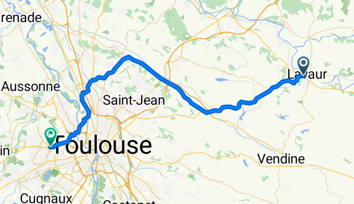
Lavaur to Colomiers
A cycling route starting in Lavaur, Occitanie, France.
Overview
About this route
This was a pleasant ride with mostly nice scenery. D112 was a good road, but it had a bit more traffic that we would have liked. Maybe this is because we were riding on it in the morning on a weekday when people would be going to Toulouse for work or business.
D32 was a particularly nice low traffic road.
Using the canal and the path from near Aucamville up to Blagnac is a really easy way to get to Colomiers and other nearby areas. The bike lanes and paths in this area are excellent.
- 3 h 41 min
- Duration
- 54 km
- Distance
- 350 m
- Ascent
- 336 m
- Descent
- 14.7 km/h
- Avg. speed
- 275 m
- Max. altitude

Route photos


Route quality
Waytypes & surfaces along the route
Waytypes
Road
8.1 km
(15 %)
Cycleway
5.4 km
(10 %)
Surfaces
Paved
40.5 km
(75 %)
Asphalt
40.5 km
(75 %)
Undefined
13.5 km
(25 %)
Continue with Bikemap
Use, edit, or download this cycling route
You would like to ride Lavaur to Colomiers or customize it for your own trip? Here is what you can do with this Bikemap route:
Free features
- Save this route as favorite or in collections
- Copy & plan your own version of this route
- Sync your route with Garmin or Wahoo
Premium features
Free trial for 3 days, or one-time payment. More about Bikemap Premium.
- Navigate this route on iOS & Android
- Export a GPX / KML file of this route
- Create your custom printout (try it for free)
- Download this route for offline navigation
Discover more Premium features.
Get Bikemap PremiumFrom our community
Other popular routes starting in Lavaur
 gaillac ambres
- Distance
- 30 km
- Ascent
- 291 m
- Descent
- 340 m
- Location
- Lavaur, Occitanie, France
 lavaur - castelnaudary
- Distance
- 139.9 km
- Ascent
- 741 m
- Descent
- 702 m
- Location
- Lavaur, Occitanie, France
 st sulpice - lavaur
- Distance
- 17.6 km
- Ascent
- 11 m
- Descent
- 42 m
- Location
- Lavaur, Occitanie, France
 De Avenue Georges Pompidou 34B, Lavaur à Sabateri, Lacougotte-Cadoul
- Distance
- 9.1 km
- Ascent
- 143 m
- Descent
- 35 m
- Location
- Lavaur, Occitanie, France
 Lavaur-Alba
- Distance
- 728.9 km
- Ascent
- 3,826 m
- Descent
- 3,670 m
- Location
- Lavaur, Occitanie, France
 Lavaur - Lacaune
- Distance
- 90 km
- Ascent
- 1,122 m
- Descent
- 465 m
- Location
- Lavaur, Occitanie, France
 De Avenue Pierre Fabre 7, Lavaur à Chemin d'enbrouysset 2, Saint-Sulpice-la-Pointe
- Distance
- 60.3 km
- Ascent
- 190 m
- Descent
- 278 m
- Location
- Lavaur, Occitanie, France
 24 Rue Carlesse, Lavaur à 1 Rue Jean Moulin, Labastide-Saint-Georges
- Distance
- 62.2 km
- Ascent
- 598 m
- Descent
- 600 m
- Location
- Lavaur, Occitanie, France
Open it in the app