

Routen um Stadtroda
SRO-Zeitzgrund-Hermsdorf-Tissa
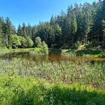
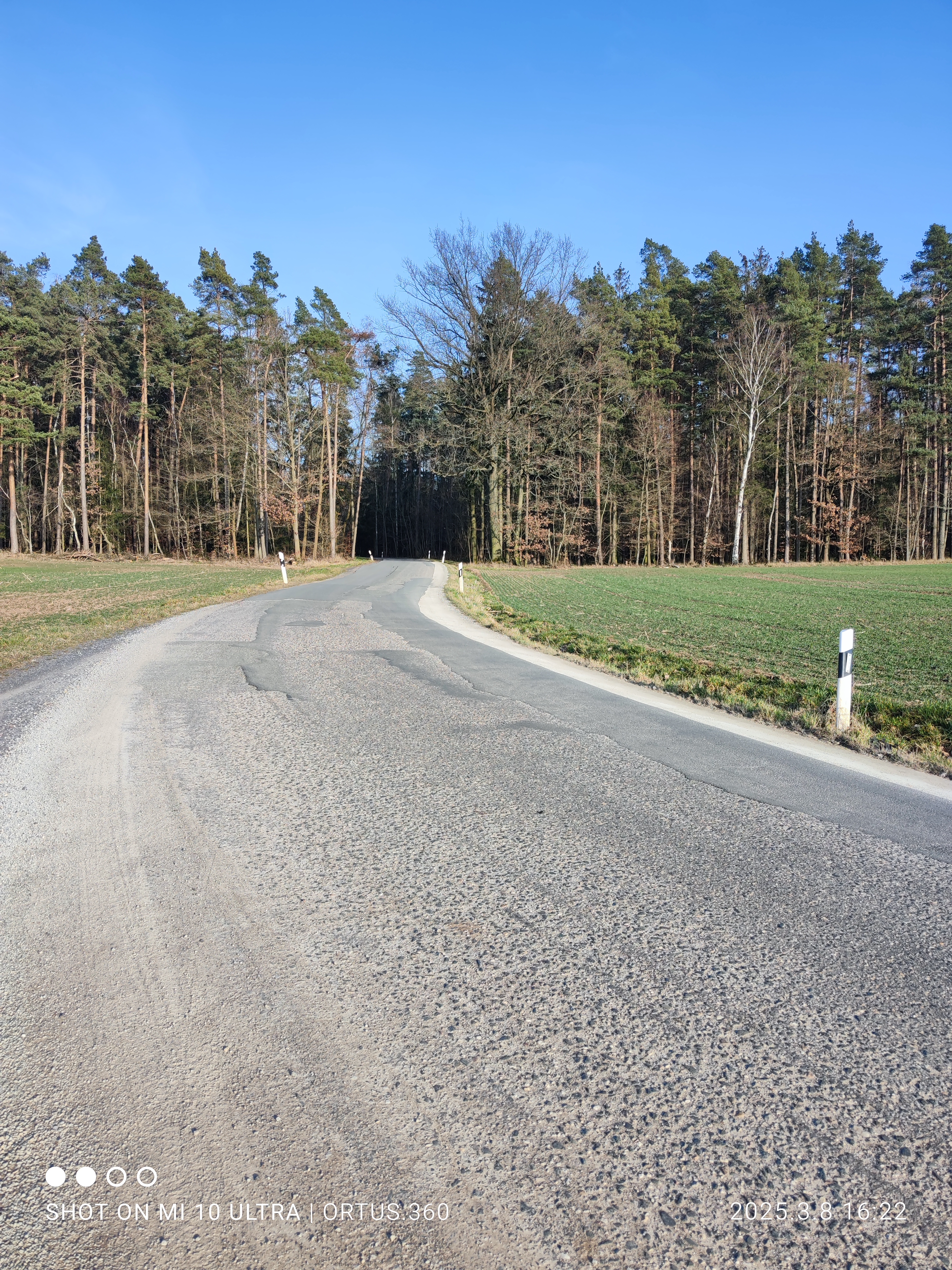
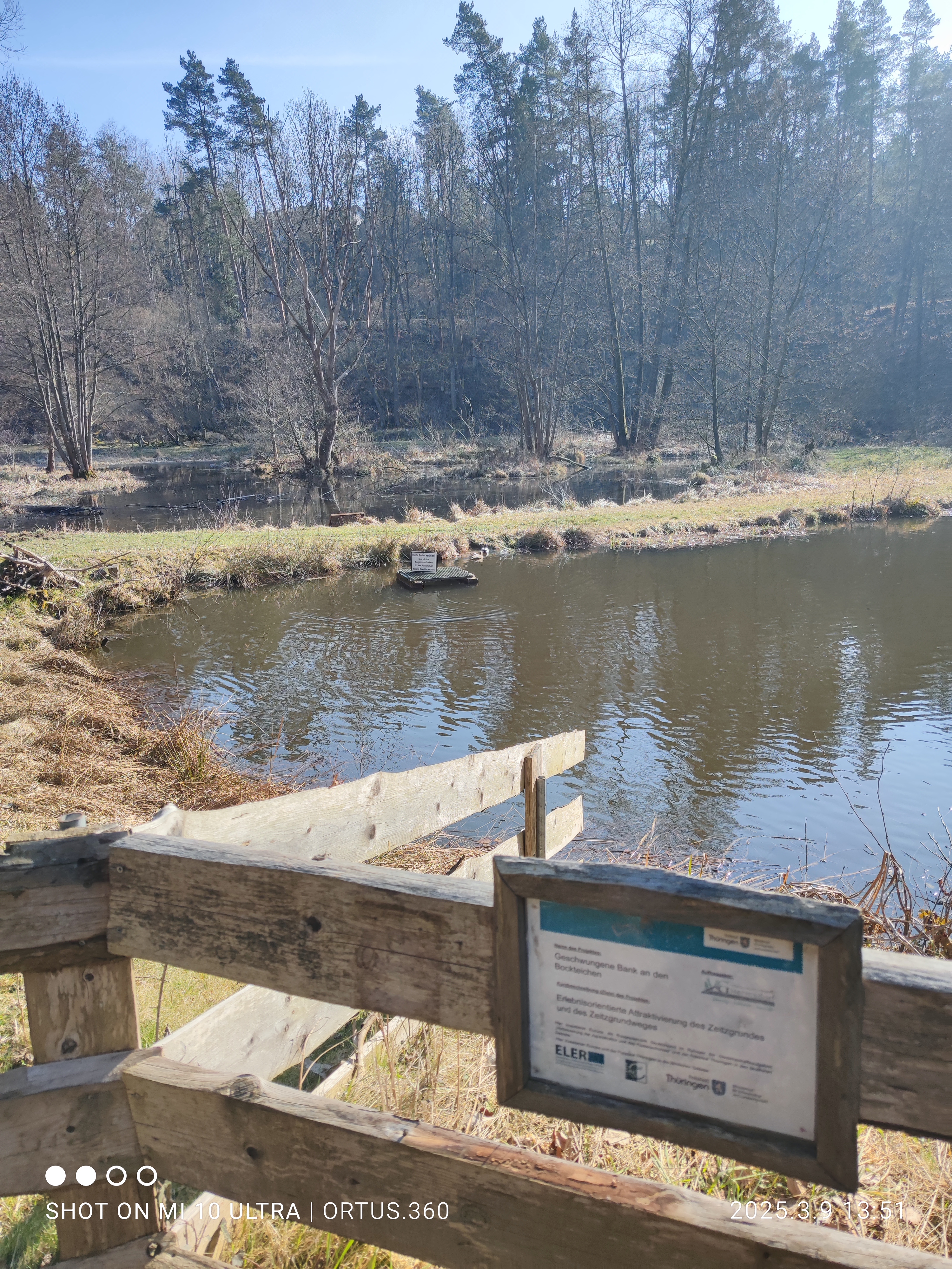
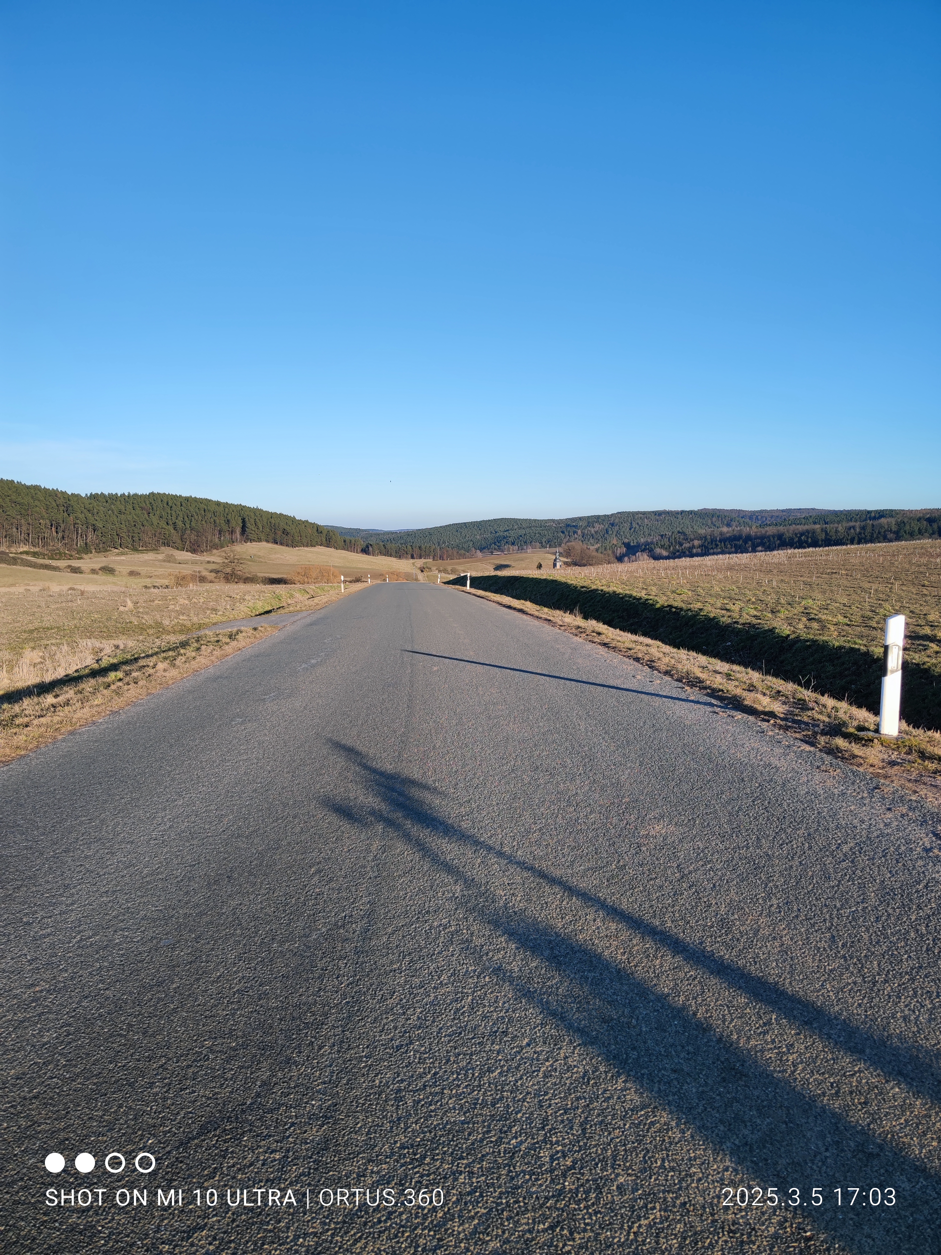
A cycling route starting in Stadtroda, Thuringia, Germany.
Overview
About this route
- 1 h 36 min
- Duration
- 30.5 km
- Distance
- 301 m
- Ascent
- 343 m
- Descent
- 19.1 km/h
- Avg. speed
- 391 m
- Max. altitude

Part of
Routen um Stadtroda
15 stages
Route photos


Continue with Bikemap
Use, edit, or download this cycling route
You would like to ride SRO-Zeitzgrund-Hermsdorf-Tissa or customize it for your own trip? Here is what you can do with this Bikemap route:
Free features
- Save this route as favorite or in collections
- Copy & plan your own version of this route
- Sync your route with Garmin or Wahoo
Premium features
Free trial for 3 days, or one-time payment. More about Bikemap Premium.
- Navigate this route on iOS & Android
- Export a GPX / KML file of this route
- Create your custom printout (try it for free)
- Download this route for offline navigation
Discover more Premium features.
Get Bikemap PremiumFrom our community
Other popular routes starting in Stadtroda
 SRO-Mörsdorf-Tröbnitz-SRO
- Distance
- 24 km
- Ascent
- 247 m
- Descent
- 282 m
- Location
- Stadtroda, Thuringia, Germany
 Rundfahrt
- Distance
- 39 km
- Ascent
- 342 m
- Descent
- 338 m
- Location
- Stadtroda, Thuringia, Germany
 SRO-Obergneus-Oelknitz-Maua-SRO
- Distance
- 30.4 km
- Ascent
- 374 m
- Descent
- 375 m
- Location
- Stadtroda, Thuringia, Germany
 SRO-Kleine Runde-Ölknitz-SRO
- Distance
- 28 km
- Ascent
- 214 m
- Descent
- 218 m
- Location
- Stadtroda, Thuringia, Germany
 Stadtroda-Großbockedra-Sulza-Stadtroda
- Distance
- 21.2 km
- Ascent
- 228 m
- Descent
- 274 m
- Location
- Stadtroda, Thuringia, Germany
 SRO-Zeitzgrund-Hermsdorf-Tälerdörfer-SRO
- Distance
- 36.2 km
- Ascent
- 234 m
- Descent
- 290 m
- Location
- Stadtroda, Thuringia, Germany
 SRO-Magersdorf-Rothenstein-TunnelLobeda-SRO
- Distance
- 34.8 km
- Ascent
- 271 m
- Descent
- 311 m
- Location
- Stadtroda, Thuringia, Germany
 Auftakt 2025 - Bauhof2Bauhof SRO
- Distance
- 17.4 km
- Ascent
- 162 m
- Descent
- 207 m
- Location
- Stadtroda, Thuringia, Germany
Open it in the app