

Routen um Stadtroda
SRO-Schlöben-Schöngleina-Waldeck-Ruttersdorf-SRO
A cycling route starting in Stadtroda, Thuringia, Germany.
Overview
About this route
- 1 h 26 min
- Duration
- 25.3 km
- Distance
- 339 m
- Ascent
- 392 m
- Descent
- 17.7 km/h
- Avg. speed
- 376 m
- Max. altitude

Part of
Routen um Stadtroda
15 stages
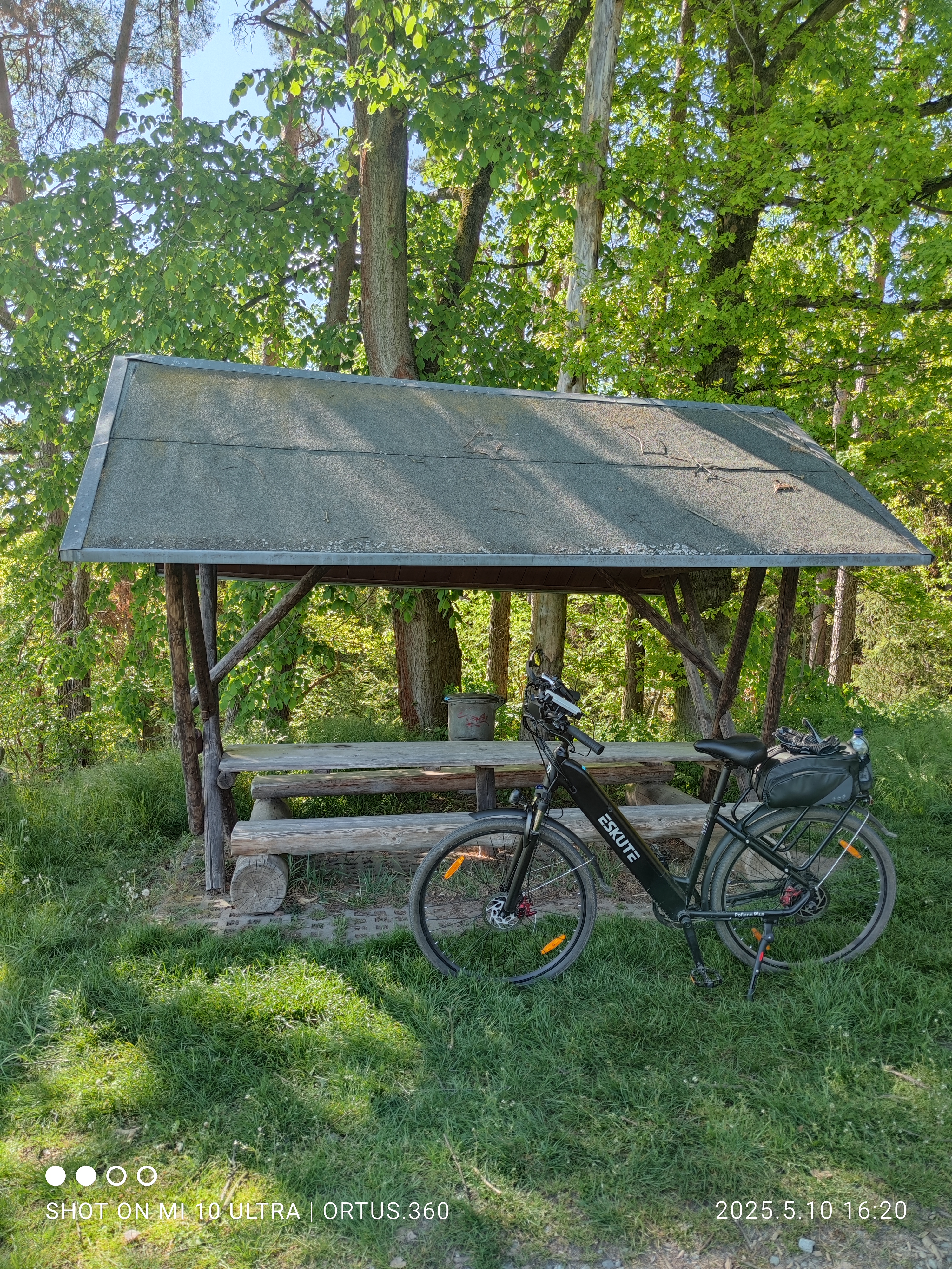
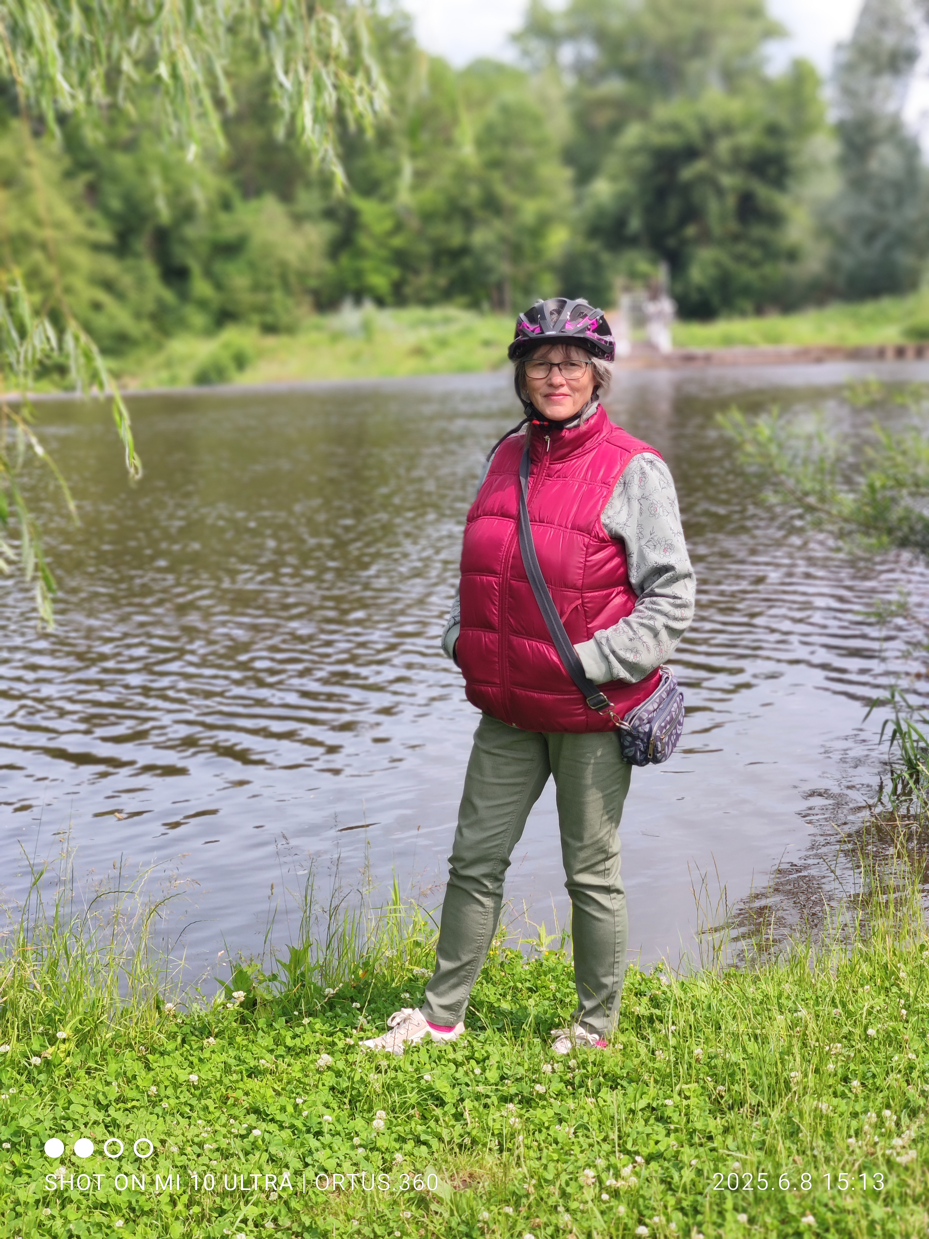
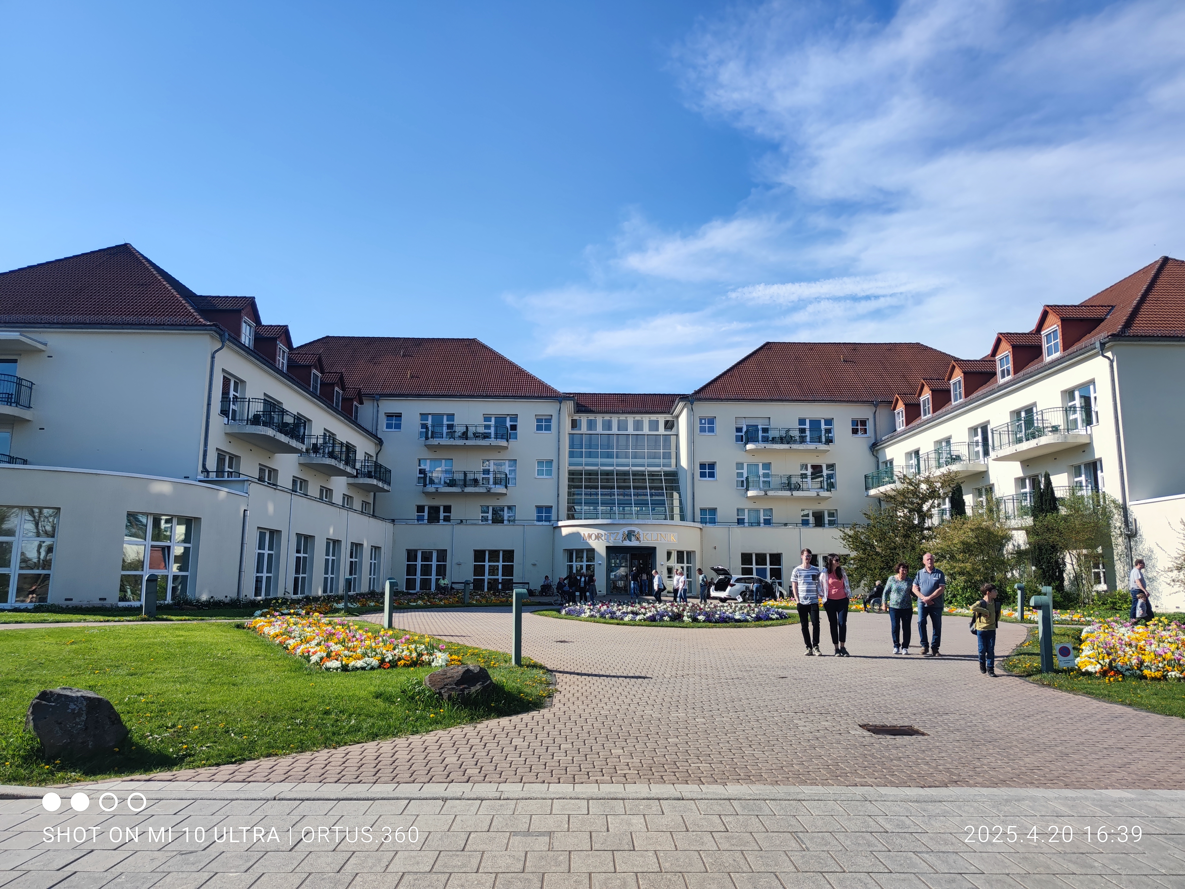
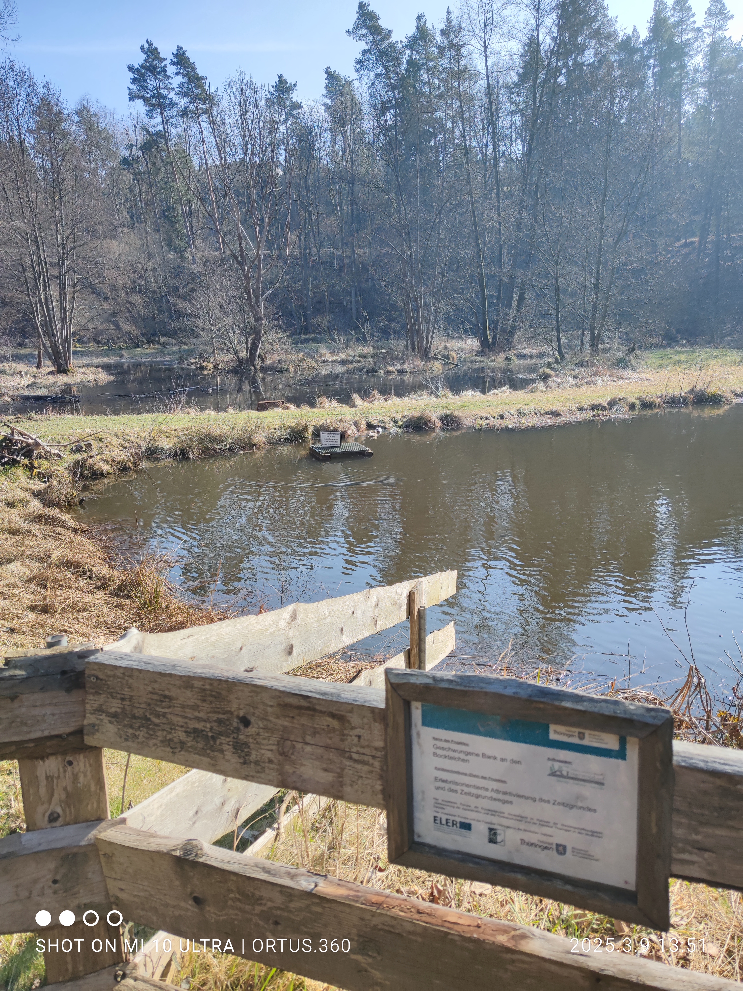
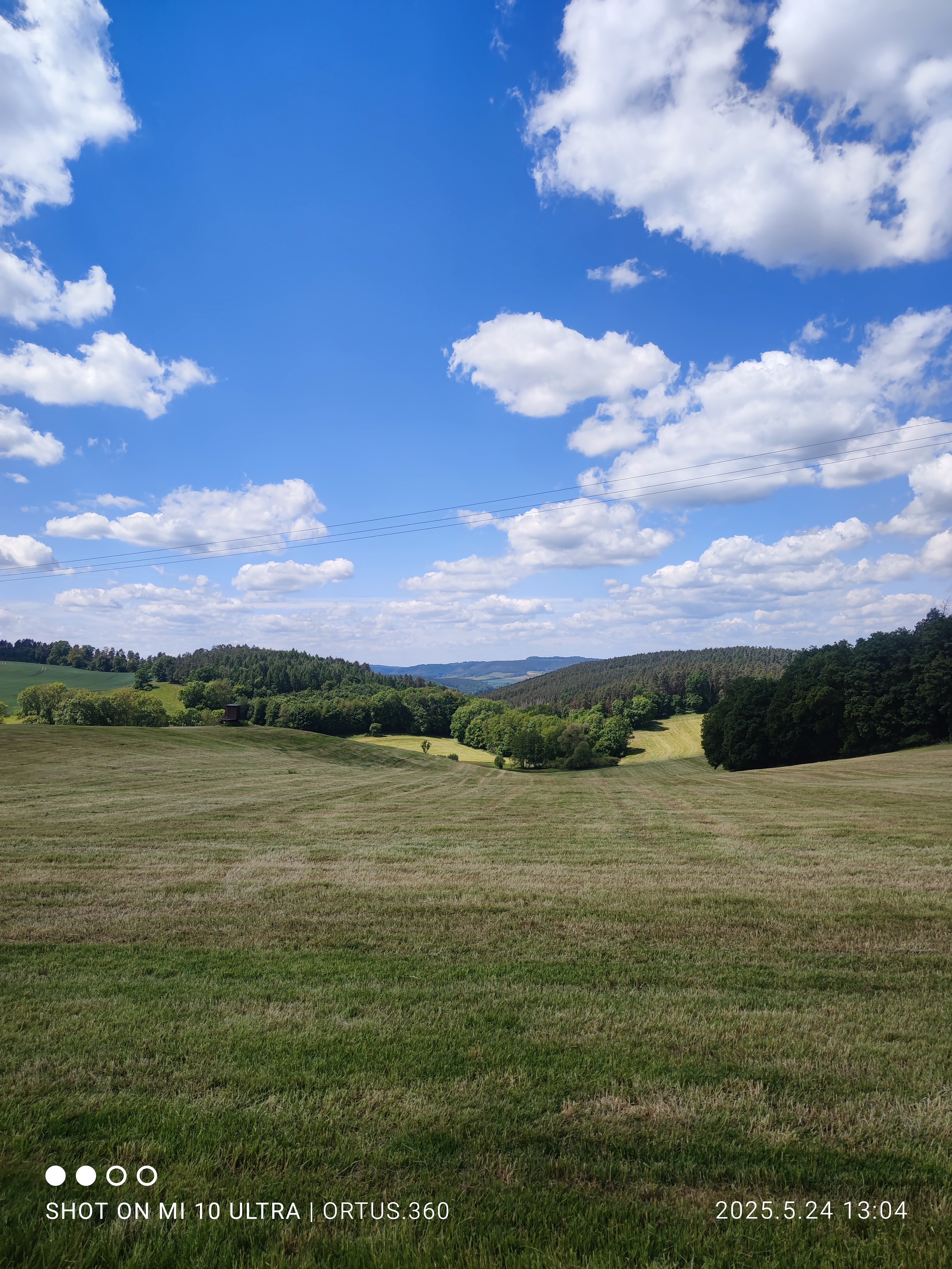
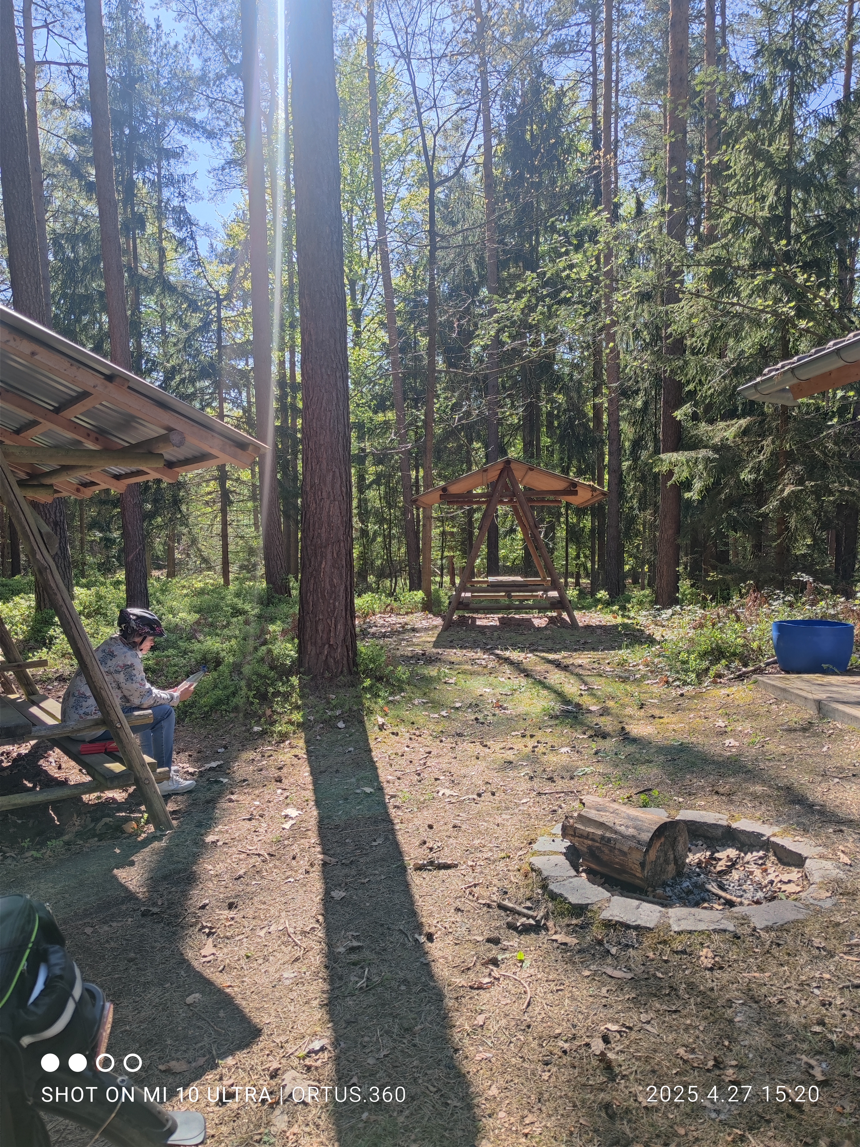
Route photos


Route quality
Waytypes & surfaces along the route
Waytypes
Road
11.9 km
(47 %)
Quiet road
2 km
(8 %)
Surfaces
Paved
19.2 km
(76 %)
Unpaved
0.3 km
(1 %)
Asphalt
19.2 km
(76 %)
Gravel
0.3 km
(1 %)
Undefined
5.8 km
(23 %)
Continue with Bikemap
Use, edit, or download this cycling route
You would like to ride SRO-Schlöben-Schöngleina-Waldeck-Ruttersdorf-SRO or customize it for your own trip? Here is what you can do with this Bikemap route:
Free features
- Save this route as favorite or in collections
- Copy & plan your own version of this route
- Sync your route with Garmin or Wahoo
Premium features
Free trial for 3 days, or one-time payment. More about Bikemap Premium.
- Navigate this route on iOS & Android
- Export a GPX / KML file of this route
- Create your custom printout (try it for free)
- Download this route for offline navigation
Discover more Premium features.
Get Bikemap PremiumFrom our community
Other popular routes starting in Stadtroda
 SRO - Eineborn - Lippersdorf - SRO
- Distance
- 30.7 km
- Ascent
- 228 m
- Descent
- 271 m
- Location
- Stadtroda, Thuringia, Germany
 Stadtroda Aufgang nach Stadtroda Aufgang
- Distance
- 41.3 km
- Ascent
- 309 m
- Descent
- 358 m
- Location
- Stadtroda, Thuringia, Germany
 SRO - Mörsdorf - Moritzklinik - Zeitzgrund - SRO
- Distance
- 36.2 km
- Ascent
- 267 m
- Descent
- 300 m
- Location
- Stadtroda, Thuringia, Germany
 SRO-Zeitzgrund-Hermsdorf-Tälerdörfer-SRO
- Distance
- 36.2 km
- Ascent
- 234 m
- Descent
- 290 m
- Location
- Stadtroda, Thuringia, Germany
 SRO - NeuLobeda - Burgau - Paradies - JenaOst - Schöngleina - SRO
- Distance
- 41.3 km
- Ascent
- 309 m
- Descent
- 358 m
- Location
- Stadtroda, Thuringia, Germany
 SRO - Magersdorf - Maua - Zöllnitz -SRO
- Distance
- 27.9 km
- Ascent
- 254 m
- Descent
- 282 m
- Location
- Stadtroda, Thuringia, Germany
 SRO - Schlöben - Luftschiff - Fuchsturm - Jena - SRO
- Distance
- 38 km
- Ascent
- 384 m
- Descent
- 430 m
- Location
- Stadtroda, Thuringia, Germany
 SRO - Ölsnitztal - SRO
- Distance
- 25.9 km
- Ascent
- 225 m
- Descent
- 275 m
- Location
- Stadtroda, Thuringia, Germany
Open it in the app