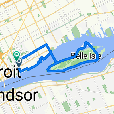
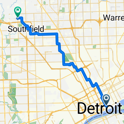
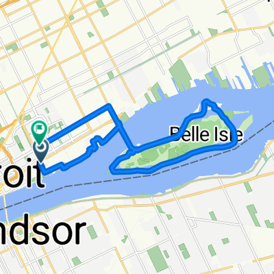
1741 Merrick St, Detroit to 1501–1551 Merrick St, Detroit
A cycling route starting in Detroit, Michigan, United States.
Overview
About this route
- 21 min
- Duration
- 2.8 km
- Distance
- 3 m
- Ascent
- 7 m
- Descent
- 8 km/h
- Avg. speed
- 193 m
- Max. altitude
Continue with Bikemap
Use, edit, or download this cycling route
You would like to ride 1741 Merrick St, Detroit to 1501–1551 Merrick St, Detroit or customize it for your own trip? Here is what you can do with this Bikemap route:
Free features
- Save this route as favorite or in collections
- Copy & plan your own version of this route
- Sync your route with Garmin or Wahoo
Premium features
Free trial for 3 days, or one-time payment. More about Bikemap Premium.
- Navigate this route on iOS & Android
- Export a GPX / KML file of this route
- Create your custom printout (try it for free)
- Download this route for offline navigation
Discover more Premium features.
Get Bikemap PremiumFrom our community
Other popular routes starting in Detroit
- E. Outer Drive Ride
- Distance
- 52.5 km
- Ascent
- 22 m
- Descent
- 22 m
- Location
- Detroit, Michigan, United States
- Detroit PUFP Field Campaign w/ POI
- Distance
- 19.7 km
- Ascent
- 22 m
- Descent
- 39 m
- Location
- Detroit, Michigan, United States
- 1741 Merrick St, Detroit to 1501–1551 Merrick St, Detroit
- Distance
- 2.8 km
- Ascent
- 3 m
- Descent
- 7 m
- Location
- Detroit, Michigan, United States
- slow ride Eastern mkt
- Distance
- 12.8 km
- Ascent
- 49 m
- Descent
- 52 m
- Location
- Detroit, Michigan, United States
- detroit
- Distance
- 63.3 km
- Ascent
- 133 m
- Descent
- 57 m
- Location
- Detroit, Michigan, United States
- Delray & Midtown
- Distance
- 32.9 km
- Ascent
- 60 m
- Descent
- 61 m
- Location
- Detroit, Michigan, United States
- The Hood
- Distance
- 10.6 km
- Ascent
- 114 m
- Descent
- 104 m
- Location
- Detroit, Michigan, United States
- Small Home route
- Distance
- 10.7 km
- Ascent
- 62 m
- Descent
- 63 m
- Location
- Detroit, Michigan, United States
Open it in the app