

RTF Gäutour 2009 Tour B
A cycling route starting in Korntal, Baden-Wurttemberg, Germany.
Overview
About this route
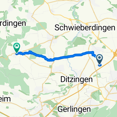
Startort: Stuttgart-Stammheim Solitudealle
Kleinere Abweichungen zur Originaltour können
auftreten.
Steigungsquotient 10,9 Hm/km
Referenz: Alb Extrem 190 km = 14,7 Hm/km
- -:--
- Duration
- 125.2 km
- Distance
- 1,147 m
- Ascent
- 1,170 m
- Descent
- ---
- Avg. speed
- 341 m
- Max. altitude

Route quality
Waytypes & surfaces along the route
Waytypes
Track
38 km
(30 %)
Road
35.3 km
(28 %)
Surfaces
Paved
104.8 km
(84 %)
Unpaved
8.1 km
(7 %)
Asphalt
102 km
(81 %)
Loose gravel
4.4 km
(4 %)
Continue with Bikemap
Use, edit, or download this cycling route
You would like to ride RTF Gäutour 2009 Tour B or customize it for your own trip? Here is what you can do with this Bikemap route:
Free features
- Save this route as favorite or in collections
- Copy & plan your own version of this route
- Split it into stages to create a multi-day tour
- Sync your route with Garmin or Wahoo
Premium features
Free trial for 3 days, or one-time payment. More about Bikemap Premium.
- Navigate this route on iOS & Android
- Export a GPX / KML file of this route
- Create your custom printout (try it for free)
- Download this route for offline navigation
Discover more Premium features.
Get Bikemap PremiumFrom our community
Other popular routes starting in Korntal
 Weilimdorf - Ludwigsburg
- Distance
- 31.8 km
- Ascent
- 246 m
- Descent
- 246 m
- Location
- Korntal, Baden-Wurttemberg, Germany
 Korntal-Birkenkopf-Schillerhöhe-Glems
- Distance
- 34.1 km
- Ascent
- 381 m
- Descent
- 381 m
- Location
- Korntal, Baden-Wurttemberg, Germany
 Korntal-Münchingen--Heimerdingen
- Distance
- 10.5 km
- Ascent
- 174 m
- Descent
- 99 m
- Location
- Korntal, Baden-Wurttemberg, Germany
 Gerlingen - Wasserturm Böblingen und zurück
- Distance
- 47.7 km
- Ascent
- 756 m
- Descent
- 756 m
- Location
- Korntal, Baden-Wurttemberg, Germany
 Glemstour
- Distance
- 31.9 km
- Ascent
- 334 m
- Descent
- 334 m
- Location
- Korntal, Baden-Wurttemberg, Germany
 Neuhaldenstraße, Korntal-Münchingen nach Mahdentalstraße, Stuttgart
- Distance
- 10.5 km
- Ascent
- 228 m
- Descent
- 117 m
- Location
- Korntal, Baden-Wurttemberg, Germany
 Kleine Standardrunde
- Distance
- 20.8 km
- Ascent
- 141 m
- Descent
- 141 m
- Location
- Korntal, Baden-Wurttemberg, Germany
 RTF Gäutour 2009 Tour B
- Distance
- 125.2 km
- Ascent
- 1,147 m
- Descent
- 1,170 m
- Location
- Korntal, Baden-Wurttemberg, Germany
Open it in the app