


Tour de France 2010 Etape 6 (fake...)
- 177.8 km
- 3,963 m
- 3,641 m
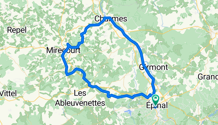
- Chantraine, Grand Est, France
A cycling route starting in Chantraine, Grand Est, France.
Overview
created this 1 year ago
Route quality
Access road
27.3 km
(31 %)
Road
22 km
(25 %)
Paved
37.9 km
(43 %)
Unpaved
0.9 km
(1 %)
Asphalt
37 km
(42 %)
Paved (undefined)
0.9 km
(1 %)
Continue with Bikemap
You would like to ride Bbis_19juin_Mirecourt or customize it for your own trip? Here is what you can do with this Bikemap route:
Free trial for 3 days, or one-time payment. More about Bikemap Premium.
Discover more Premium features.
Get Bikemap PremiumFrom our community
Open it in the app


