Marton to Leamington and back
A cycling route starting in Long Itchington, England, United Kingdom.
Overview
About this route
- 1 h 50 min
- Duration
- 29 km
- Distance
- 249 m
- Ascent
- 250 m
- Descent
- 15.8 km/h
- Avg. speed
- 100 m
- Avg. speed
Continue with Bikemap
Use, edit, or download this cycling route
You would like to ride Marton to Leamington and back or customize it for your own trip? Here is what you can do with this Bikemap route:
Free features
- Save this route as favorite or in collections
- Copy & plan your own version of this route
- Sync your route with Garmin or Wahoo
Premium features
Free trial for 3 days, or one-time payment. More about Bikemap Premium.
- Navigate this route on iOS & Android
- Export a GPX / KML file of this route
- Create your custom printout (try it for free)
- Download this route for offline navigation
Discover more Premium features.
Get Bikemap PremiumFrom our community
Other popular routes starting in Long Itchington
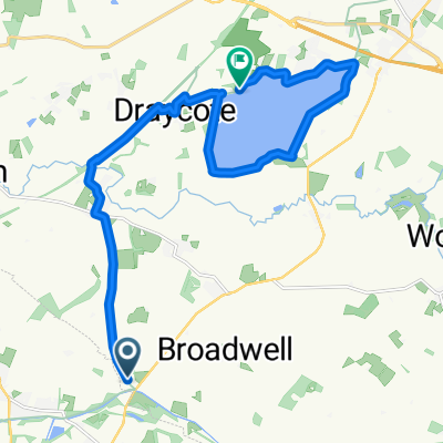
- Leamington Spa to Limestone Hall Lane
- Distance
- 25 km
- Ascent
- 201 m
- Descent
- 212 m
- Location
- Long Itchington, England, United Kingdom
- globes birthday bike ride
- Distance
- 56.5 km
- Ascent
- 239 m
- Descent
- 268 m
- Location
- Long Itchington, England, United Kingdom
- 57A Leigh Crescent, Southam to Rhodes House, Northfield Road, Southam
- Distance
- 4.7 km
- Ascent
- 46 m
- Descent
- 32 m
- Location
- Long Itchington, England, United Kingdom
- Marton, Birdingbury and Long Itchington Loop
- Distance
- 15.3 km
- Ascent
- 62 m
- Descent
- 63 m
- Location
- Long Itchington, England, United Kingdom
- Calias Lane, Rugby to Asta Court, Chestnut Field, Rugby
- Distance
- 26 km
- Ascent
- 276 m
- Descent
- 258 m
- Location
- Long Itchington, England, United Kingdom
- Odingsel Drive 7, Long Itchington to Mount Pleasant Unit 7
- Distance
- 70.1 km
- Ascent
- 493 m
- Descent
- 420 m
- Location
- Long Itchington, England, United Kingdom
- Route from Southam Road, Southam
- Distance
- 9.4 km
- Ascent
- 78 m
- Descent
- 55 m
- Location
- Long Itchington, England, United Kingdom
- Route 4 (Stonebridge Lane)
- Distance
- 10.1 km
- Ascent
- 48 m
- Descent
- 64 m
- Location
- Long Itchington, England, United Kingdom
Open it in the app